
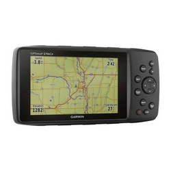
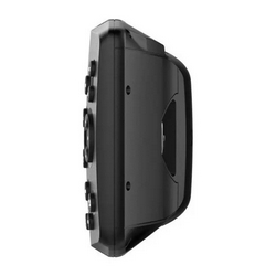
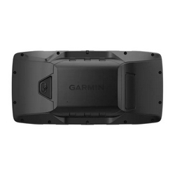
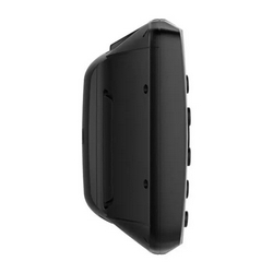
GPSMAP® 276Cx
Rugged Handheld GPS
All-terrain GPS Navigator
- Internal antenna with GPS and GLONASS satellite reception for tracking in more challenging environments than GPS alone; for better reception in vehicle interiors add an external antenna (sold separately) to the built-in MCX connector
- Supports Garmin TOPO maps, Garmin HuntView™ maps, BlueChart® g3 marine charts and more
- Supports Active Weather forecasts and animated weather tracking
- Pairs with your compatible smartphone¹ for automatic uploads, smart notifications and more

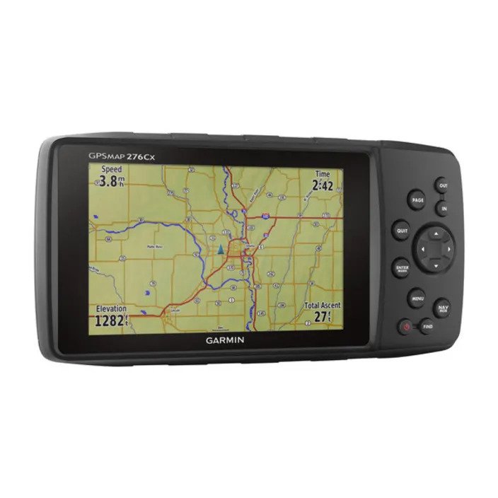
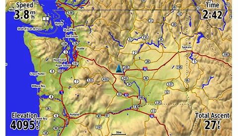
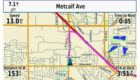
If you’re a jack-of-all-trades, you need a GPS navigator that’s as versatile as you are. Take a look at the GPSMAP 276Cx. With a large 5-inch display, versatile cartography, connected features and flexible power options, it has the capability to function the best way for you.
 |  |  |
The Connected Navigator
In addition to GPS and GLONASS reception, GPSMAP 276Cx is ANT+® compatible for the integration of external sensors like the tempe™ ambient temperature sensor. You can even connect it to Wi-Fi® for over-the-air updates and Garmin Connect™ database syncs. Pair with your compatible mobile device¹ for additional features like LiveTrack and smart notifications¹.
Tough and Ready
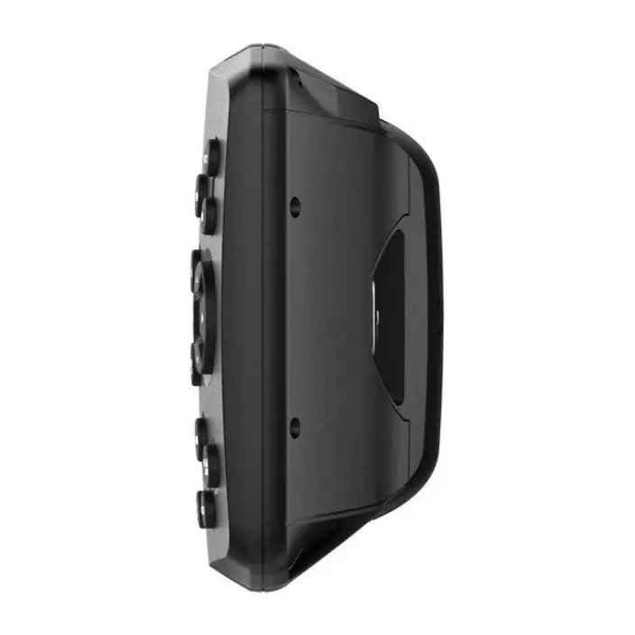
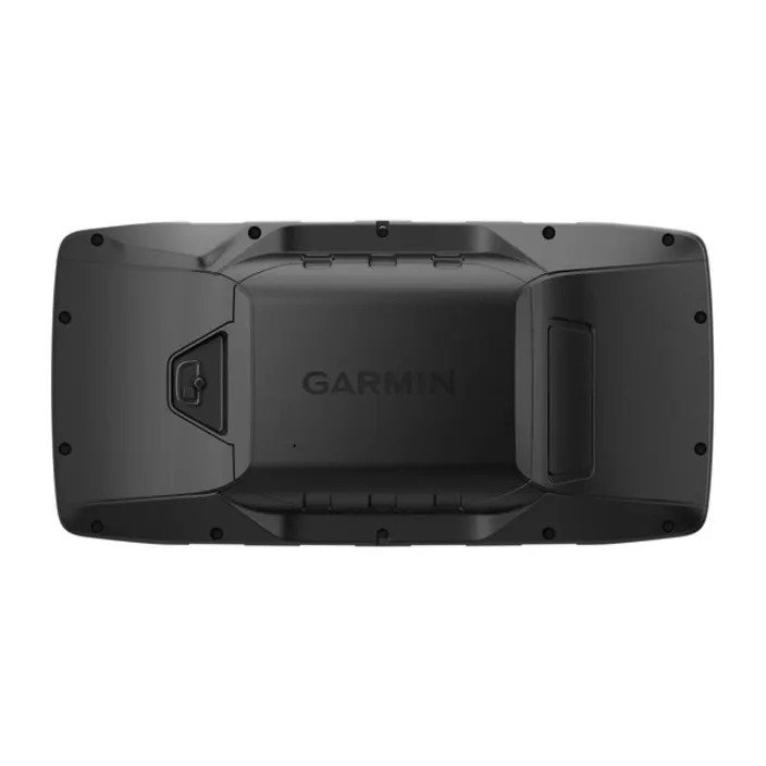
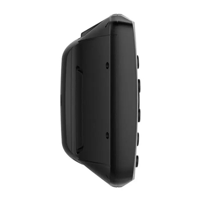
GPSMAP 276Cx was designed for your rugged lifestyle. You’ll navigate with confidence by seeing clearly on the large 5-inch sunlight-readable screen. The navigator’s flexible mounting lets you keep the device exactly where you need it. Operate GPSMAP 276Cx with its reliable push-button controls that resist dirt, dust and grit, and best of all –– keep all your maps on hand with 8 GB of internal memory, expandable by a microSD™ card (sold separately).

More Power Options
Get peace of mind knowing that the GPSMAP 276Cx GPS navigator is going to be ready when you need it, now that there are more ways to power your device. It features in-unit charging with an included lithium-ion battery pack and even has the ability to use standard AA batteries.
General
| Dimension | 7.5" x 3.7" x 1.7" (19.05 x 9.40 x 4.32 cm) |
| Weight | 15.9 oz (450 g) with included rechargeable pack; 14.6 oz (415 g) with AA batteries (not included) |
| Water rating | IPX7 |
| Display Type | bright, sunlight readable WVGA display |
| Display Size | 5.0" (127.0 mm) diagonal |
| Display resolution | 800 x 480 pixels |
| Battery Type | rechargeable lithium-ion (included) or 2 AA batteries (not included); NiMH or Lithium recommended |
| Battery life | up to 16 hours (lithium-ion) up to 8 hours (AA batteries) |
| Memory/History | 8 GB (6 GB available to use) |
| Interface | high speed mini USB and NMEA 0183 compatible |
Maps & memory
| Preloaded maps | yes (City Navigator® version) |
| Ability to add maps | ✔ |
| Basemap | ✔ |
| Automatic routing (turn by turn routing on roads) for outdoor activities | Yes (with optional mapping for detailed roads) |
| Automatic routing (turn by turn routing on roads) for motorized vehicles | ✔ |
| Map segments | 15,000 |
| Includes detailed hydrographic features (coastlines, lake/river shorelines, wetlands and perennial and seasonal streams) | yes (preloaded City Navigator version) |
| Includes searchable points of interests (parks, campgrounds, scenic lookouts and picnic sites) | yes (preloaded City Navigator version) |
| Displays national, state and local parks, forests, and wilderness areas | yes (preloaded City Navigator version) |
| External memory storage | yes (32 GB max microSD™ card) |
| Waypoints/favorites/locations | 10,000 |
| Tracks | 250 |
| Navigation Track Log | 20,000 points, 250 saved tracks |
| Navigation Routes | 250, 250 points per route; 50 points auto routing |
Sensors
| GPS | ✔ |
| GLONASS | ✔ |
| Barometric altimeter | ✔ |
| Compass | Yes (tilt-compensated 3-axis) |
| High-sensitivity receiver | ✔ |
| GPS compass (while moving) | ✔ |
Daily Smart Features
| Smart notifications on handheld | ✔ |
| Weather forecasts | ✔ |
| Weather | ✔ |
| VIRB® Remote | ✔ |
| Pairs with Garmin Connect™ Mobile | ✔ |
Outdoor recreation features
| Point-to-point navigation | ✔ |
| Area calculation | ✔ |
| Fish forecast | ✔ |
| Sun and moon information | ✔ |
| Geocaching-friendly | ✔ |
| Custom maps compatible | yes (500 custom map tiles) |
| Picture viewer | ✔ |
Connections
| Wireless Connectivity | yes (Wi-Fi®, BLUETOOTH®, ANT+®) |
Device Only
- GPSMAP 276Cx
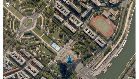
- 1 year BirdsEye Satellite Imagery subscription¹
- AMPS powered mounting bracket with marine bail mount
- Lithium-ion rechargeable battery pack
- USB cable
- AC charger
- Documentation
Automotive Bundle
- GPSMAP 276Cx with lifetime maps²
- Preloaded street maps for North America
- 1 year BirdsEye Satellite Imagery subscription¹
- Automotive friction mount with speaker
- AMPS powered mounting bracket with marine bail mount
- Vehicle power cable
- USB cable
- AC adapter
- Lithium-ion rechargeable battery pack
- Documentation