
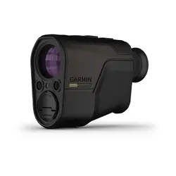

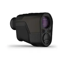

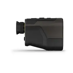


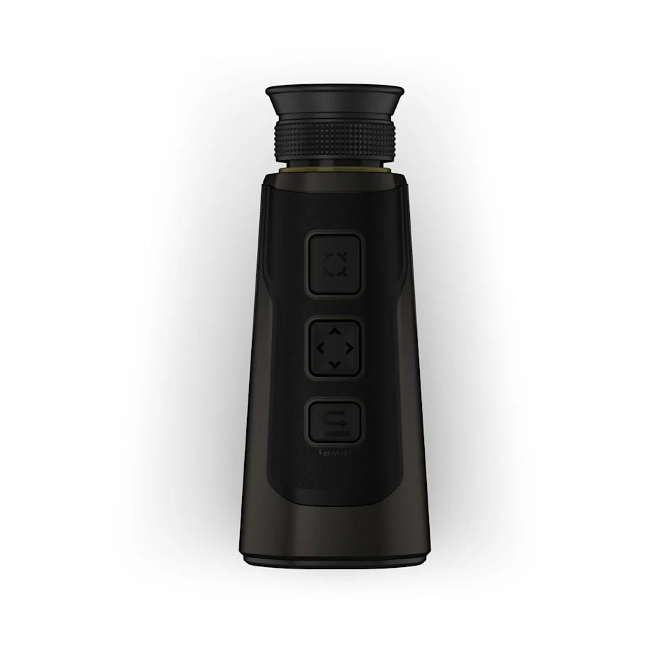


Xero® L60i Laser Rangefinder
KNOW THE DISTANCE AND BEYOND
A revolutionary rangefinder above the rest. See your target through premium glass with a high-resolution graphic overlay that displays distance, mapping, navigation and more for an immersive visual experience.
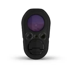
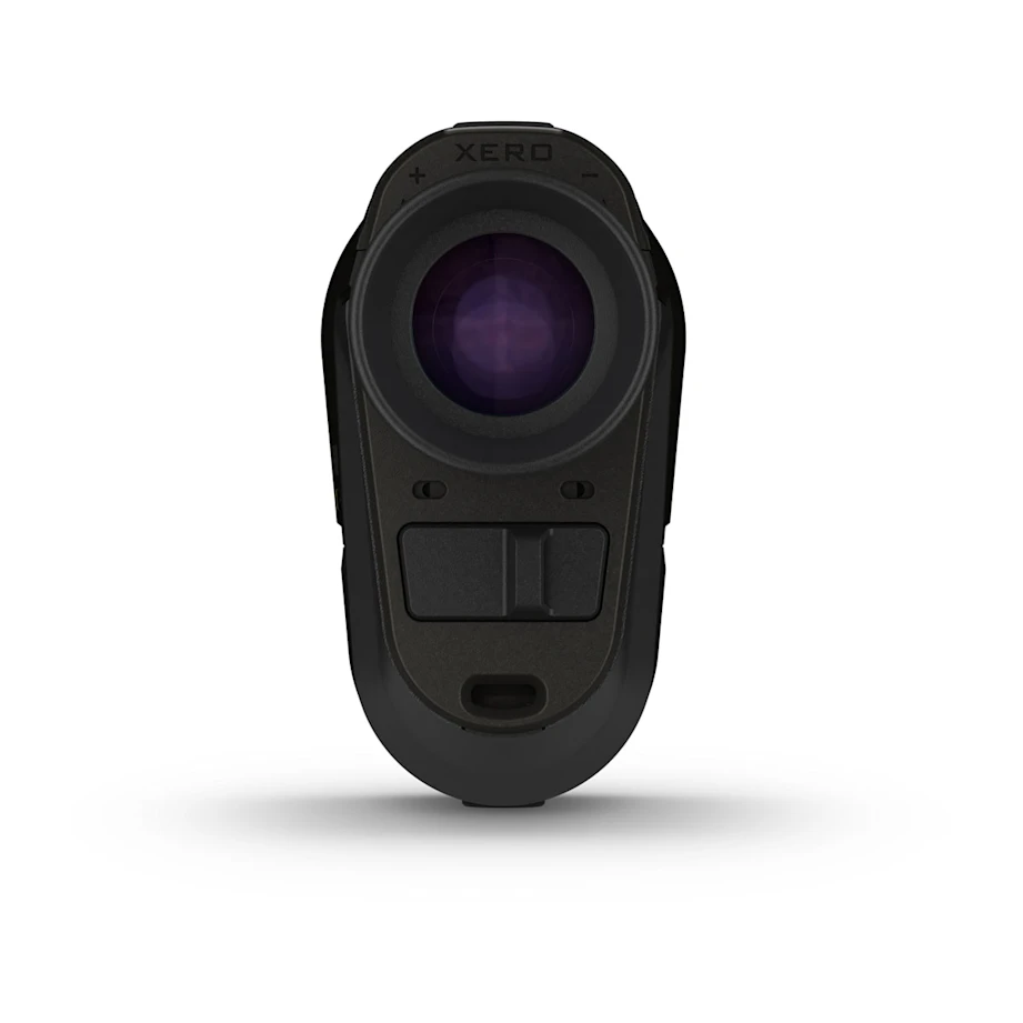
FULL-COLOUR, HIGH-RESOLUTION GRAPHIC DISPLAY OVERLAY | RAZOR-SHARP OPTICS WITH 7X MAGNIFICATION, 32 MM OBJECTIVE LENS AND EDGE-TO-EDGE CLARITY | RANGE TREES OUT TO 1,800 METRES AND ANIMALS OUT TO 1,375 METRES — RANGE EVEN FARTHER WITH THE SENSOR LOCATE FEATURE | USE THE LASER LOCATE™ FEATURE TO DROP A GPS WAYPOINT ON OBJECTS YOU’VE RANGED | USE VISUAL RECALL TO RELOCATE AN OBJECT YOU’VE RANGED AND USE THE MAP TO NAVIGATE TO IT |

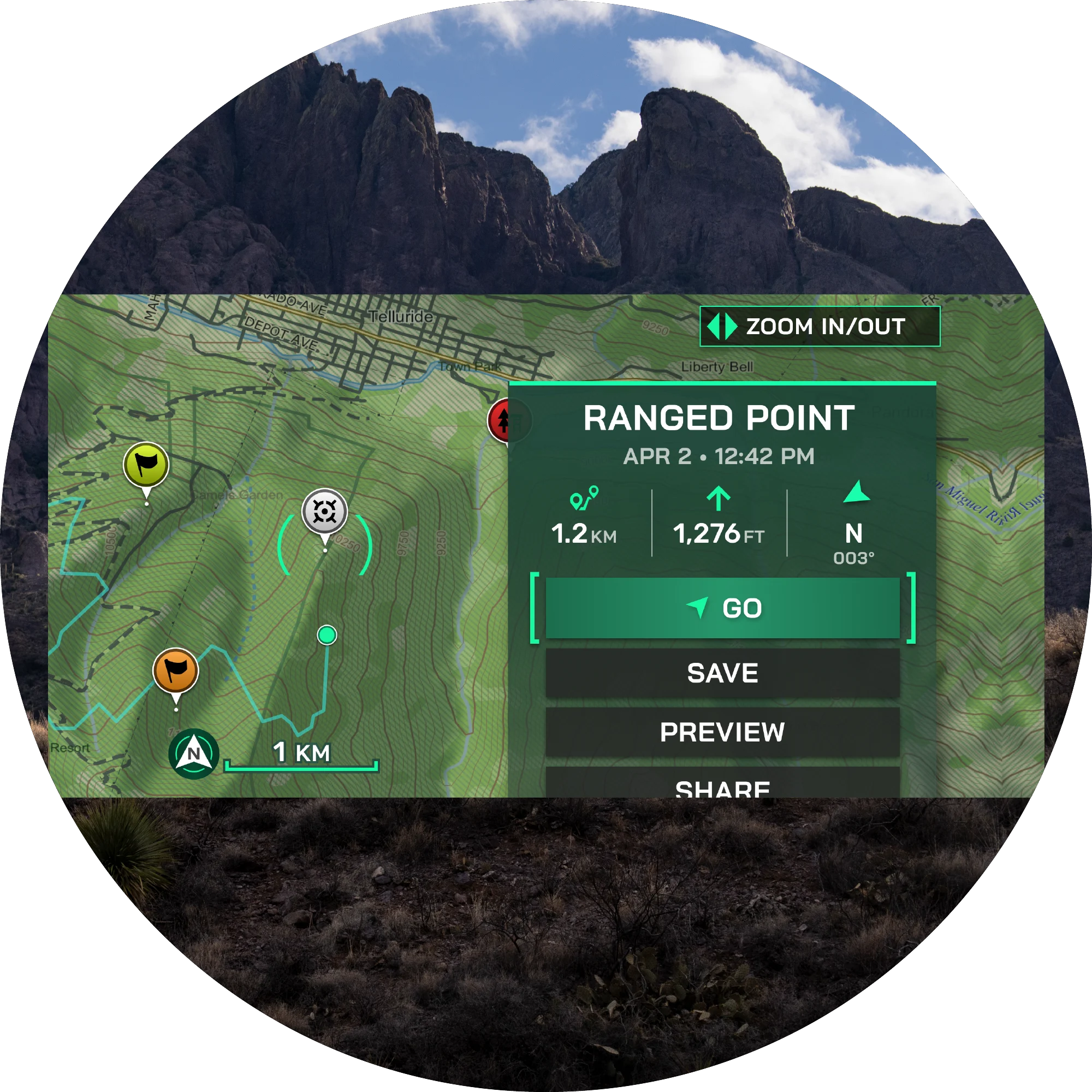
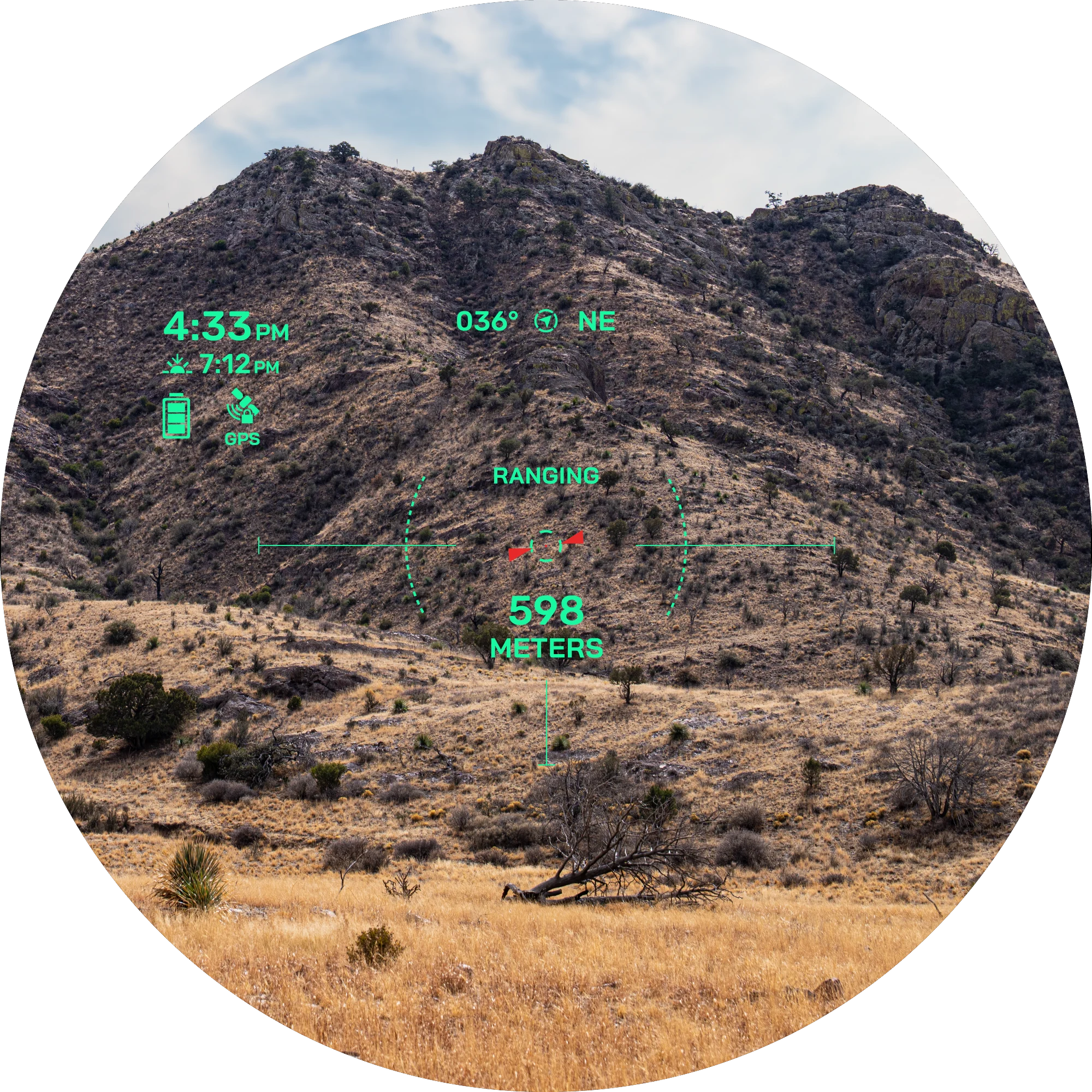 VERSATILE RANGEUse the 7X magnification to range trees out to 1,800 metres and animals out to 1,375 metres. In optimal low-light conditions, reach all the way out to 5,000 metres to retro reflective objects. Get pinpoint accuracy and precision with proprietary precision lock technology. Learn more | 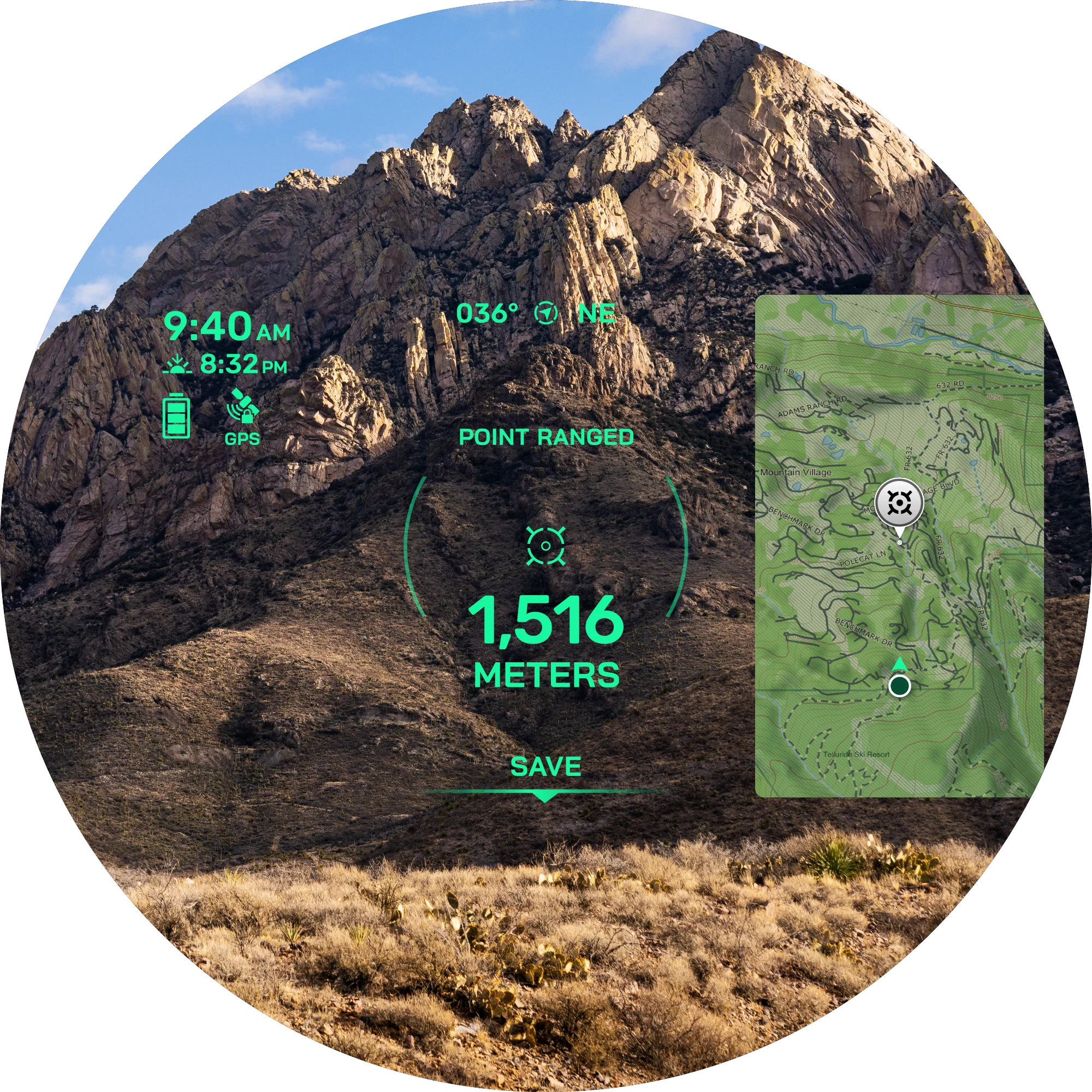 GRAPHIC OVERLAYGet a sharp view through a full-colour, high-resolution graphic overlay that displays distance, location, mapping, ballistics, navigation and more. Learn more | 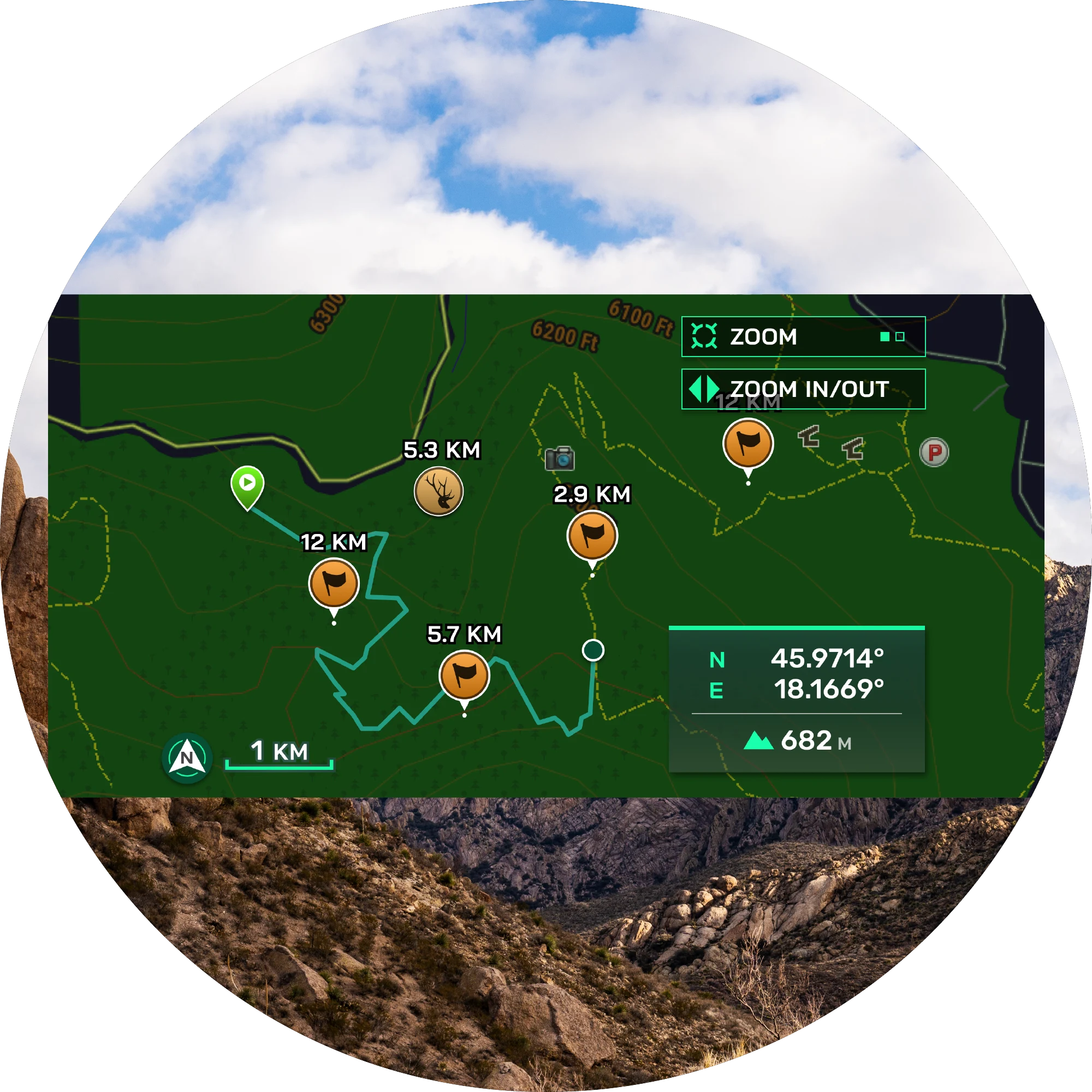 NAVIGATION FEATURESLook through the device, and let the graphic display overlay guide you to waypoints you’ve dropped with on-board TopoActive mapping. Keep your bearings with a 3-axis compass, and see elevation profiles of your route. You can even see an overhead perspective of your location on the graphic display overlay. |
 ADVANCED WAYPOINTSLeverage advanced GPS technology and onboard sensors to drop a waypoint on objects you’ve ranged with the Laser Locate waypoint projection feature. Project a waypoint beyond rangeable distances with the sensor locate feature. If you lose sight of an object while travelling to it, visual recall on the graphic overlay will guide you back to it. Learn more | 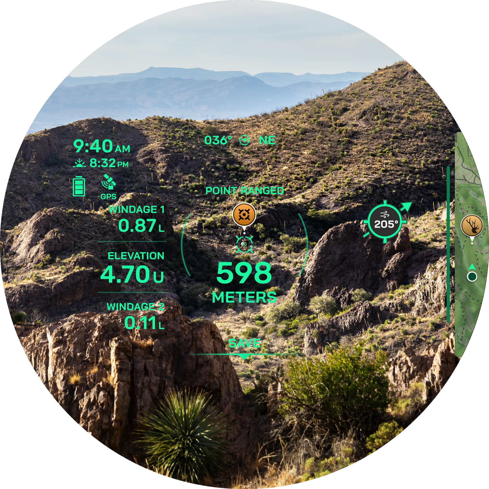 ONBOARD BALLISTICSAccess the onboard Applied Ballistics Ultralight solver with the AB Quantum app, and get the data you need to make the perfect shot. Archers also get arrow ballistics, such as max arrow height, angle-compensated range and more. | 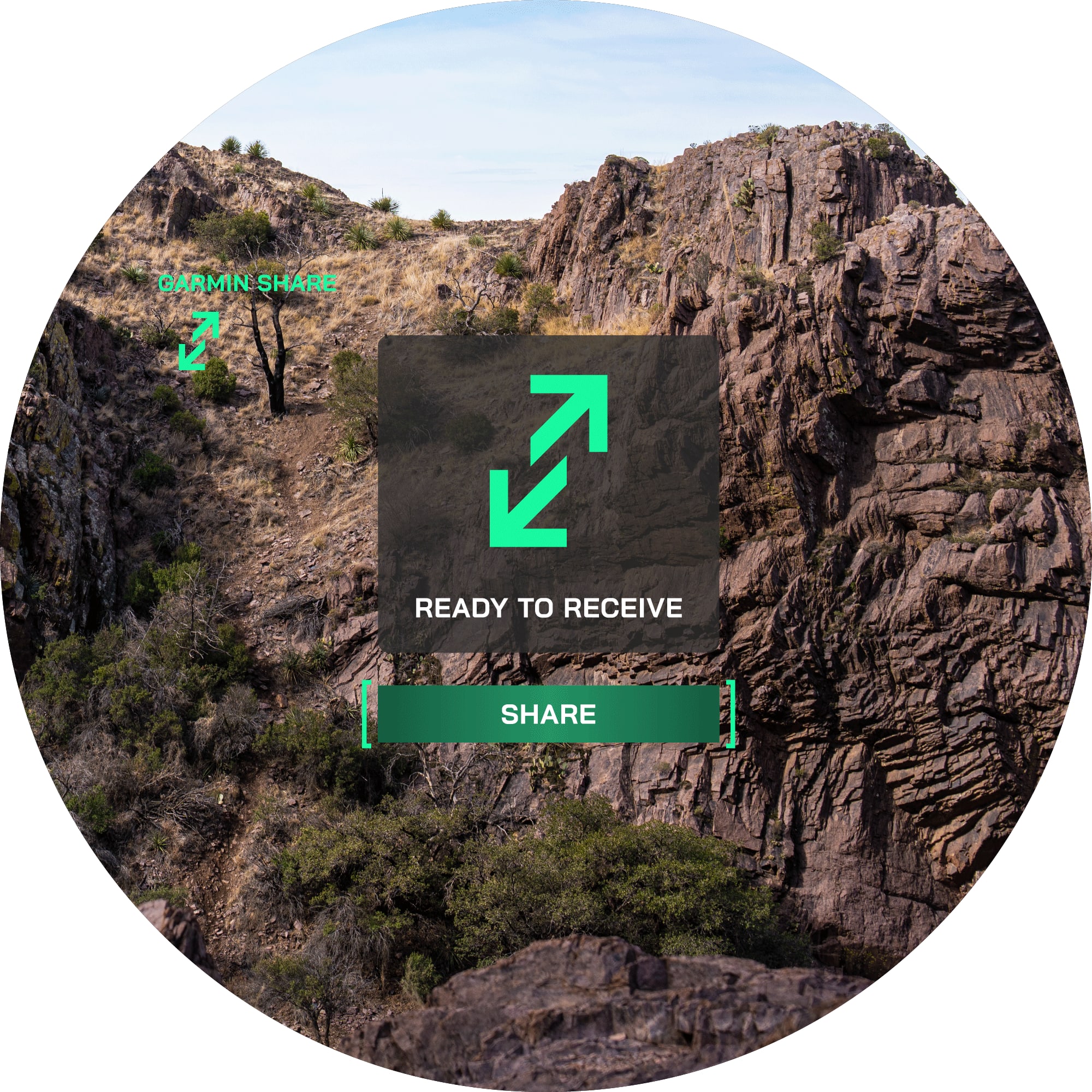 NAVIGATION ECOSYSTEMSend waypoints or data to your compatible smartphone and then share it with your compatible Garmin device so you can close the distance without using the graphic overlay. Spot something but your partner can’t find it? This feature also lets you share waypoints with your partner’s compatible devices. Learn more |

ENDLESS EXPLORATION
MAPPINGNavigate with built-in TopoActive mapping. |
OVERHEAD VIEWSee your position from a bird’s-eye perspective on the graphic overlay. |
ELEVATIONSee an elevation profile of where you want to go on the graphic overlay. |
DROP WAYPOINTSUse Laser Locate to drop a waypoint on objects or locations you’ve ranged. |
EXTENDED RANGEUse the sensor locate feature to project a waypoint beyond rangeable distances. |
TARGET LOCK TECHNOLOGYThis feature delivers precise and accurate ranges by leveraging property signal validation methods. |
TACK-SHARP GLASSExperience accurate colour fidelity and superior light transmission. |
DIM THE DISPLAYAutomatic display brightness controls for optimal low-light performance. |
RELOCATE WAYPOINTSThe visual recall feature on the graphic overlay can guide you back to a waypoint while travelling toward it. |
VISUAL RECALLSpot something your group can’t find? Use visual recall to share an animal’s location from a distance. |
BUILT TO LASTThis rangefinder is built to withstand the harsh outdoor conditions with an IPX7 water-resistance rating. |
|
|
|
|
General
| Dimension | 125.41 mm x 89.66 mm x 50.59 mm (4.94” x 3.53” x 1.99”) |
| Weight | No battery: 362.88g (0.80 lbs) With battery: 385.1g (0.849 lbs) |
| Water rating | IPX7 |
| Display Type | Multi-colour digital light projection |
| Display Size | 32 mm (1.2”) diagonal |
| Display resolution | 960 x 540 pixels |
| Battery Type | 2 AAA lithium batteries (included) |
| Battery life | 1,400 ranges (1 sec range, 10 sec display) |
| Multi-colour display | ✔ |
| Operating range | -20° C to 60° C (-4° F to 140° F) |
| Memory/History | 32 GB internal less file system space |
| Interface | USB-C |
| Laser classification | Class 1 |
Daily Smart Features
| Connectivity | BLUETOOTH® technology |
| Mobile app | Explore App |
Xero Laser Range Finder Features
| Magnification | 7x |
| Objective | 32 mm |
| Field of View | 7 Degrees |
| Field Of View (Linear Feet At 914 Metres) | 365 ft |
| Eye Relief | 18 mm (0.71”) |
| Exit Pupil Diameter | 4.6 mm |
| Focus Adjustment | +/- 4 diopters |
| Compass | ✔ |
| Barometer | ✔ |
| Precision | +/- .1 m |
| Accuracy | +/- .25 m out to 1000 m +/- 1.0 m beyond 1000 m |
| Distance To Deer Targets (Full Sun) | Animals, 1,375 m; Trees, 1,800 m; Retro Reflective, 5,000 m |
| Distance To Targets (Night) | Animals, 2,775 m; Trees, 3,600 m; Highly Reflective, 5,100 m; Retro Reflective, 7,000 m |
| Laser Locate | ✔ |
| Sensor Locate | ✔ |
| Onboard Mapping | ✔ |
| Visual Recall | ✔ |
| Applied Ballistics Solver | Onboard, unlockable via AB Synapse app |
| Xero Archery Ballistics | ✔ |
| Angle Compensated Distance | ✔ |
| Garmin Share | ✔ |
| Stores Locations, Tracks And Courses | ✔ |
| Measures Distances Between 2 Points | ✔ |
| Area Calculation | ✔ |
| Compatible With Garmin Explore App | ✔ |
| Carrying Case | Yes (included) |
| Laser Beam Divergence | 0.5 x 0.5 mrad |
Security Information
| Security updates until at least (YYYY-MM-DD) | 2028-01-20 |
| EU Data Act Information – Range Finders | ✔ |
- Xero® L60i Laser Rangefinder
- Carrying case
- 2 AAA lithium batteries
- Power/data cable
- Documentation