
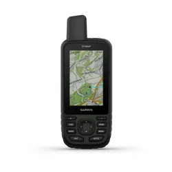
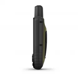
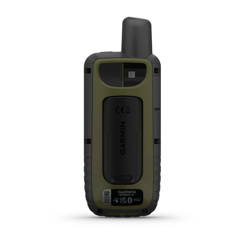
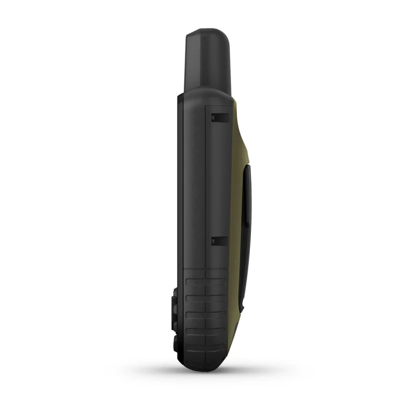
GPSMAP 67
Handheld GPS
inReach® Technology
GO EXPLORE THE OUTDOORS
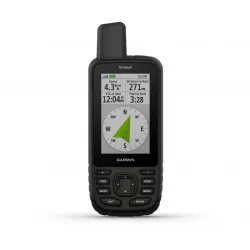
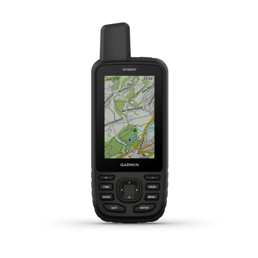
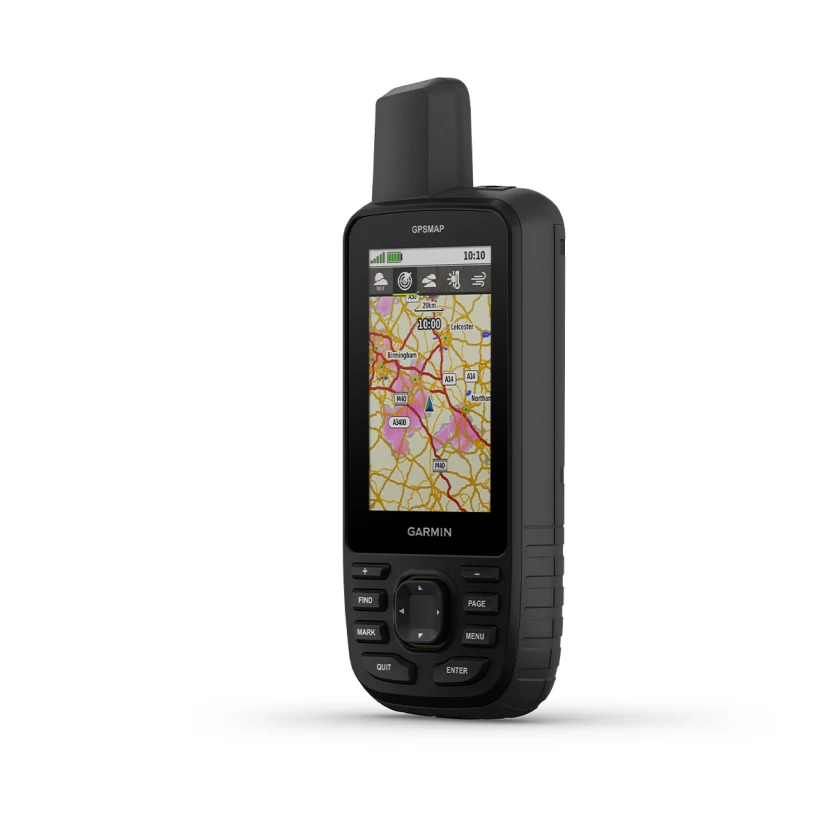
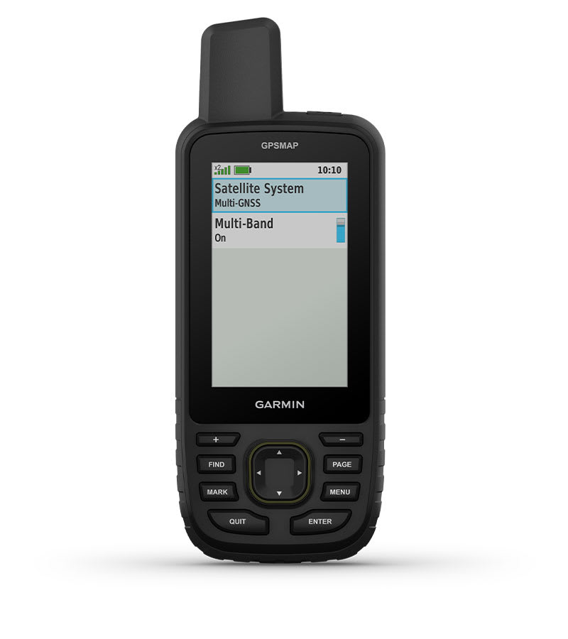
Make more time for adventure with this premium, rugged handheld. Get long battery life and multi-band technology for enhanced accuracy plus preloaded TopoActive maps and access to satellite imagery.
 See your route clearly on the 3″ sunlight-readable colour display. |  Travel longer with up to 180 hours of battery life in tracking mode and up to 840 hours in expedition mode. |  Track your position in challenging conditions with multi-band technology and expanded GNSS support. |
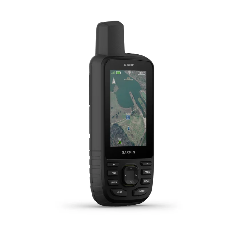
 See the terrain you’ll travel with vivid satellite imagery that downloads right to your handheld GPS. |  Stay tuned to the forecast with active weather on your route when paired to your compatible smartphone. |

Discover new
favorite places.
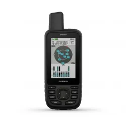
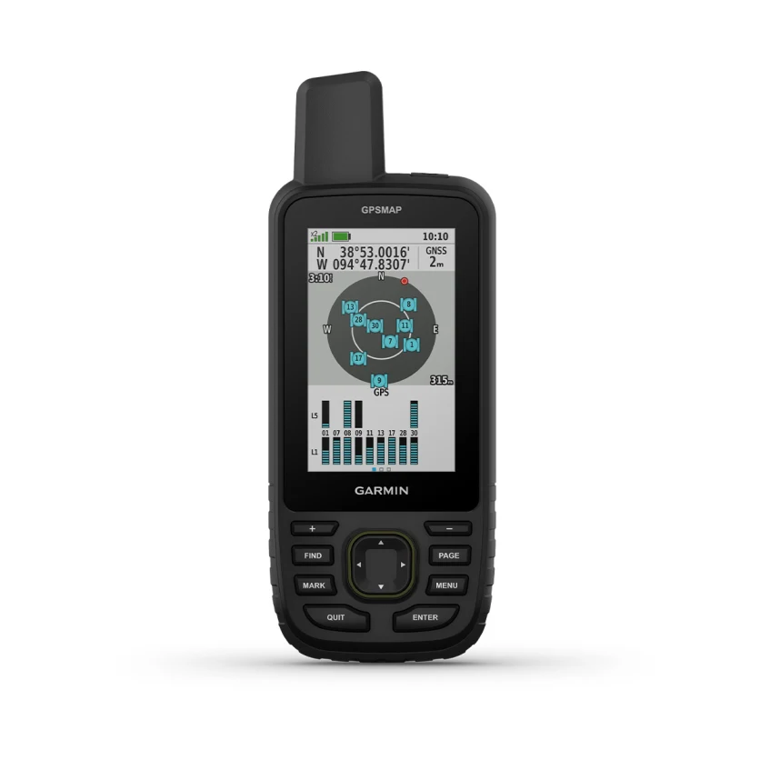
MULTI-BAND GNSS SUPPORTAccess multiple global navigation satellite systems (GPS, GLONASS, Galileo and QZSS). Get access to multiple frequencies sent by navigation satellites for improved position accuracy in areas where GNSS signals are reflected, weak or typically don't penetrate. |
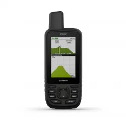
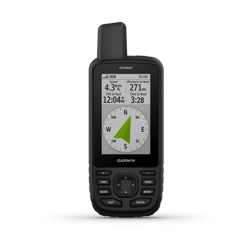
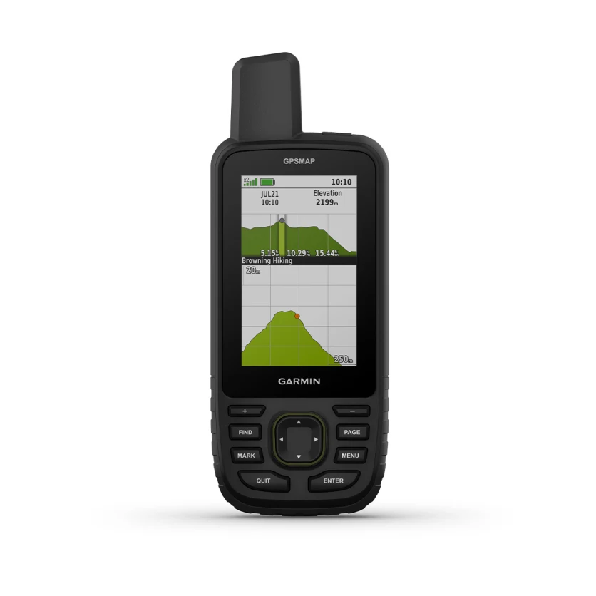
ABC SENSORSNavigate every trail with ABC sensors, including an altimeter for elevation data, barometer to monitor weather and 3-axis electronic compass. |
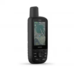
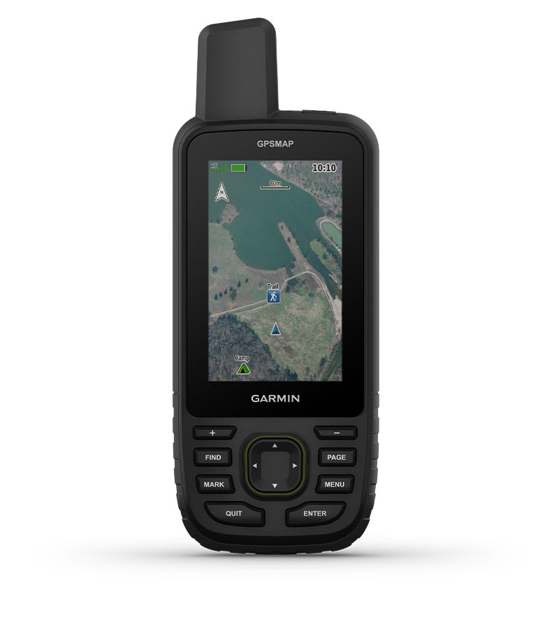
SATELLITE IMAGERYDownload high-resolution photorealistic maps directly to your device via Wi-Fi® technology. Easily find trails, pick stand locations and parking, create waypoints and more. |
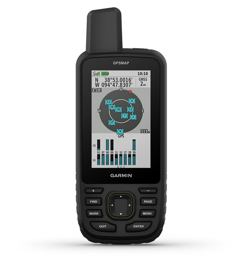
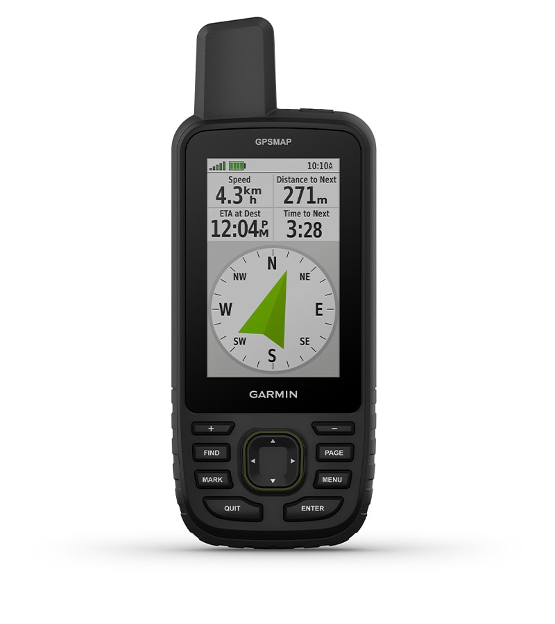
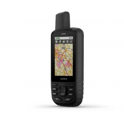
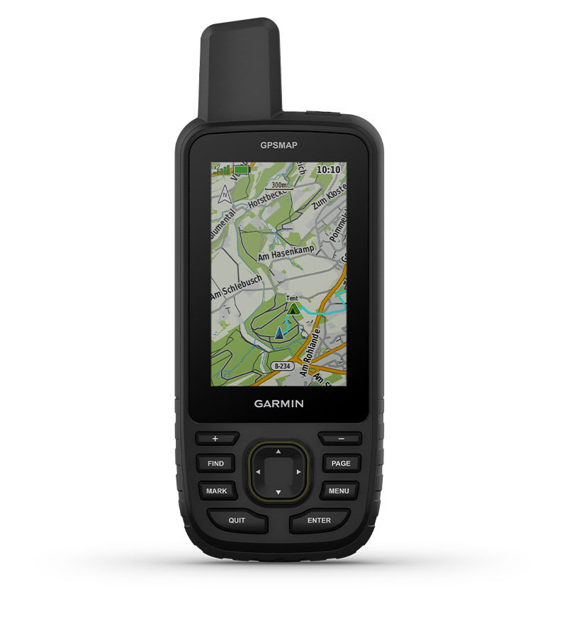
PRELOADED TOPOACTIVE EUROPE MAPSPreloaded TopoActive Europe maps show you summits, parks, coastlines, rivers, lakes and geographical points. |
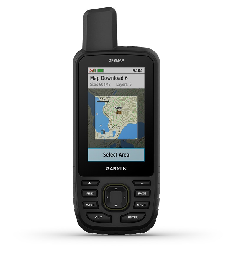
PREMIUM MAP FEATURESWith an Outdoor Maps+ subscription, you get public land information, landowner names, state plat maps, BLM boundaries and more. |

Find your way for
days.
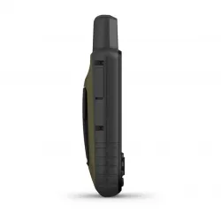
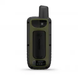
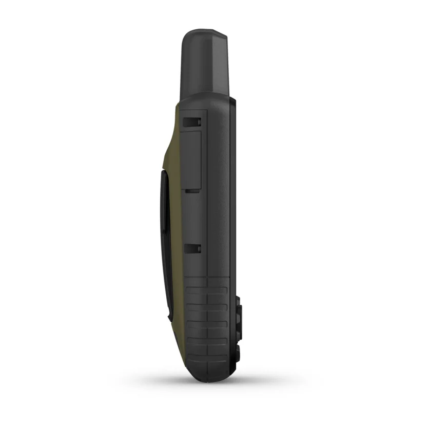
BUILT FOR ADVENTUREThis handheld is built to military standards for thermal, shock and water performance (MIL-STD-810), and it's even compatible with night vision goggles. |
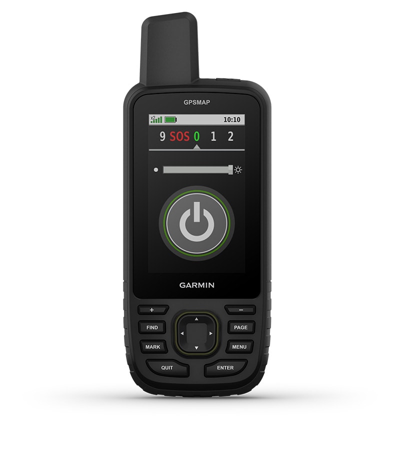
LED FLASHLIGHTThe GPSMAP 67 series handheld helps you keep gear to a minimum with a built-in LED flashlight that can be used as a beacon to signal for help. |
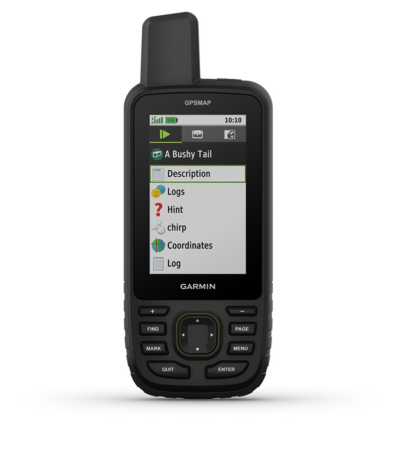
GEOCACHINGGet automatic cache updates from Geocaching Live, including descriptions, logs and hints. When connected via Wi-Fi technology or to the Garmin Explore™ smartphone app, each find will upload to your Geocaching.com profile. |
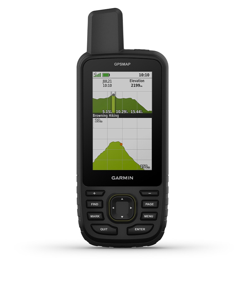
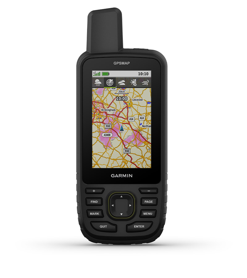
ACTIVE WEATHERWhen connected to the Garmin Explore smartphone app , you can get real-time forecast information, so you're aware of the changing conditions. |
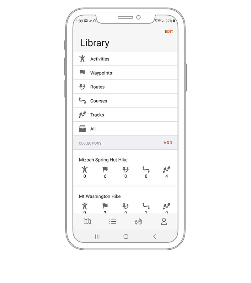
GARMIN EXPLORE™ APPPlan, review and sync waypoints, routes and tracks by using the Garmin Explore app and website. You can even review completed activities while still in the field. |
BATTERY LIFEThe internal lithium-ion rechargeable battery provides up to 180 hours of battery life in GPS mode and up to 840 hours in expedition mode. |
General
| DIMENSIONS | 6.2 x 16.3 x 3.5 cm (2.5″ x 6.4″ x 1.4″) |
| WEIGHT | 230 g with batteries |
| WATERPROOF | IPX7 |
| MIL-STD-810 | Yes (thermal, shock, water); bare unit only |
| DISPLAY TYPE | Transflective colour TFT |
| DISPLAY SIZE | 3.8 x 6.3 cm (1.5″W x 2.5″H ); 7.6 cm diag (3″) |
| DISPLAY RESOLUTION | 240 x 400 pixels |
| BATTERY TYPE | Rechargeable, internal lithium-ion |
| BATTERY LIFE | Up to 180 hours in default mode Up to 840 hours in expedition mode |
| MEMORY/HISTORY | 16 GB (user space varies based on included mapping) |
| INTERFACE | USB-C |
Maps & memory
| PRELOADED MAPS | Yes (TopoActive Europe; routable) |
| ABILITY TO ADD MAPS |  |
| BASEMAP | |
| AUTOMATIC ROUTING (TURN BY TURN ROUTING ON ROADS) FOR OUTDOOR ACTIVITIES | |
| MAP SEGMENTS | 15000 |
| SATELLITE IMAGERY | yes (direct to device) |
| INCLUDES DETAILED HYDROGRAPHIC FEATURES (COASTLINES, LAKE/RIVER SHORELINES, WETLANDS AND PERENNIAL AND SEASONAL STREAMS) | |
| INCLUDES SEARCHABLE POINTS OF INTERESTS (PARKS, CAMPGROUNDS, SCENIC LOOKOUTS AND PICNIC SITES) | |
| DISPLAYS NATIONAL, STATE AND LOCAL PARKS, FORESTS, AND WILDERNESS AREAS | |
| STORAGE AND POWER CAPACITY | Yes (32 GB max microSD™ card) |
| WAYPOINTS/FAVOURITES/LOCATIONS | 10,000 |
| COURSES | 250, 200 course points per course |
| TRACKS | 250 |
| NAVIGATION TRACK LOG | 20,000 points, 250 saved gpx tracks, 300 saved fit activities |
| ACTIVITIES | |
| NAVIGATION ROUTES | 250, 250 points per route; 50 points auto routing |
Sensors
| GPS | |
| GLONASS | |
| GALILEO | |
| QZSS | |
| BEIDOU | |
| IRNSS | |
| BAROMETRIC ALTIMETER | |
| COMPASS | Yes (tilt-compensated 3-axis) |
| HIGH-SENSITIVITY RECEIVER | |
| GPS COMPASS (WHILE MOVING) | |
| MULTI-BAND FREQUENCY | |
Daily smart features
| CONNECT IQ™ (DOWNLOADABLE WATCH FACES, DATA FIELDS, WIDGETS AND APPS) | |
| SMART NOTIFICATIONS ON HANDHELD | |
| ACTIVE WEATHER | |
| VIRB® CAMERA REMOTE | |
| COMPATIBLE WITH GARMIN CONNECT™ MOBILE | |
Safety and Tracking Features
| LIVETRACK | |
Outdoor recreation
| POINT-TO-POINT NAVIGATION | |
| TRACBACK® | |
| AREA CALCULATION | |
| FISH FORECAST | |
| SUN AND MOON INFORMATION | |
| XERO™ LOCATIONS | |
| GEOCACHING-FRIENDLY | yes (Geocache Live) |
| CUSTOM MAPS COMPATIBLE | yes (500 custom map tiles) |
| PICTURE VIEWER | |
| LED BEACON FLASHLIGHT | No |
inReach® features
| INREACH REMOTE COMPATIBLE | |
Outdoor applications
| COMPATIBLE WITH GARMIN EXPLORE™ APP | |
| GARMIN EXPLORE WEBSITE COMPATIBLE | |
Connections
| CONNECTIONS WIRELESS CONNECTIVITY | Yes (Wi-Fi®, Bluetooth®, ANT+®) |
- GPSMAP 67
- Type A to Type C USB cable
- Carabiner clip
- Documentation