


GPSMAP® 79 Series
Marine Handheld With Worldwide Basemap
inReach® տեխնոլոգիա
CAST OFF CONFIDENTLY
Stay on course, and track more adventures with these rugged, floating handhelds.
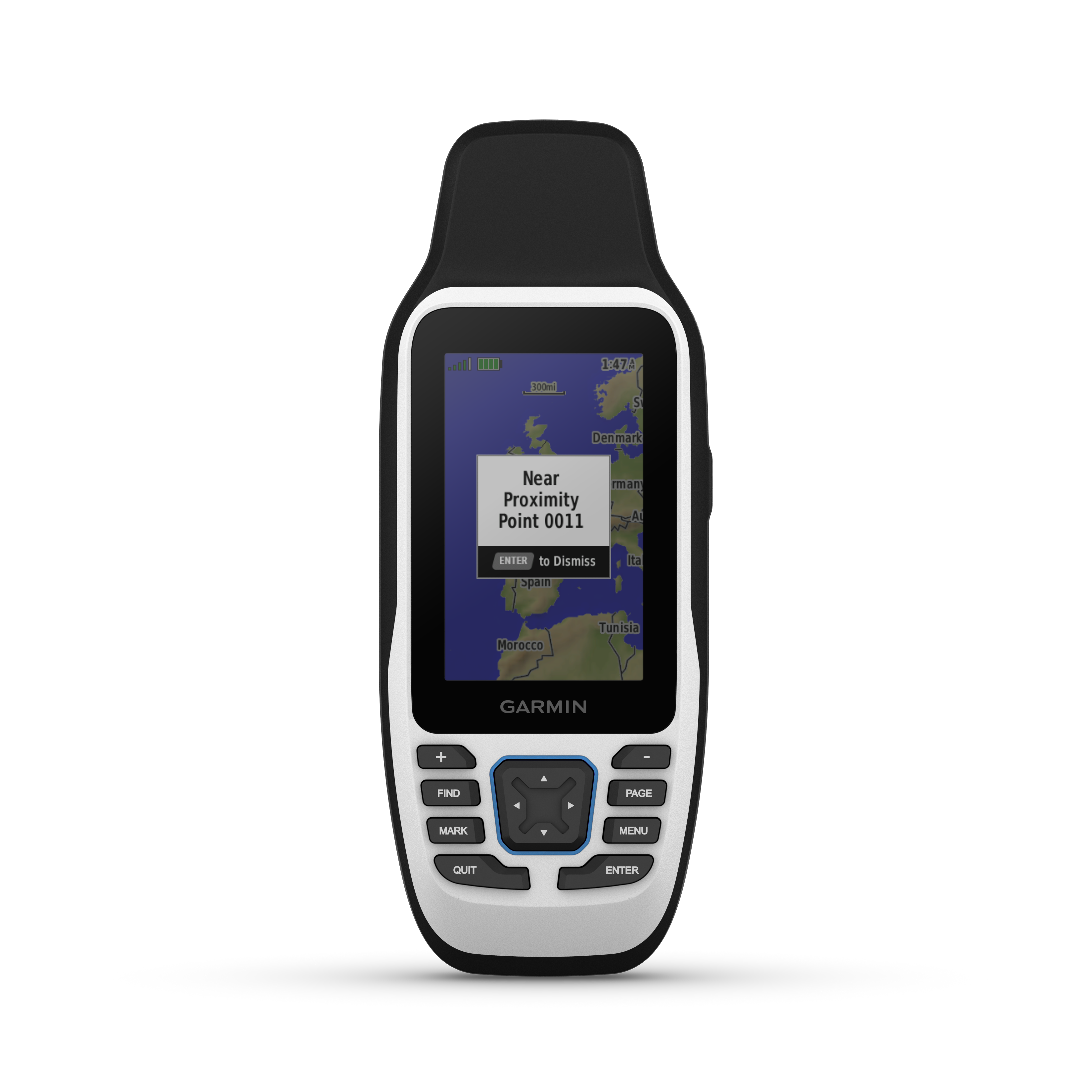
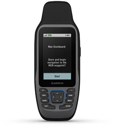
It’s water-resistant, it floats, and it’s fogproof, so it belongs on the water — just like you. | This thing can remember up to 10,000 waypoints and more, so you don’t have to. | It’s nice to have reliable positioning when you’re out on the water. |
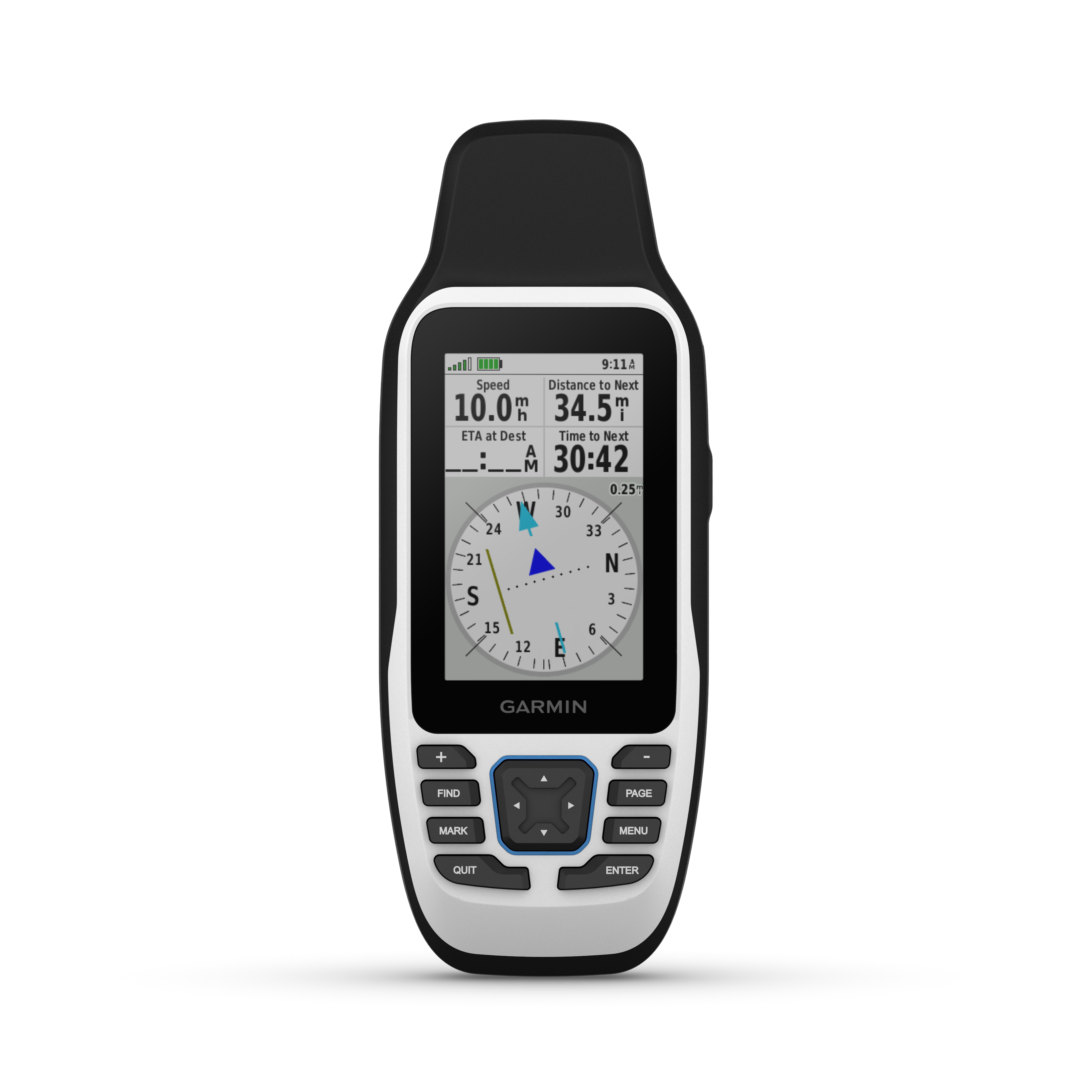
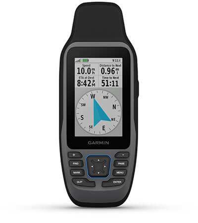
The built-in compass will point you in the right direction. | Get the best of Garmin and Navionics® data with optional BlueChart® g3 coastal charts. | Stay out longer with up to 19 hours of battery life in GPS mode. |

Built for life on the boat.
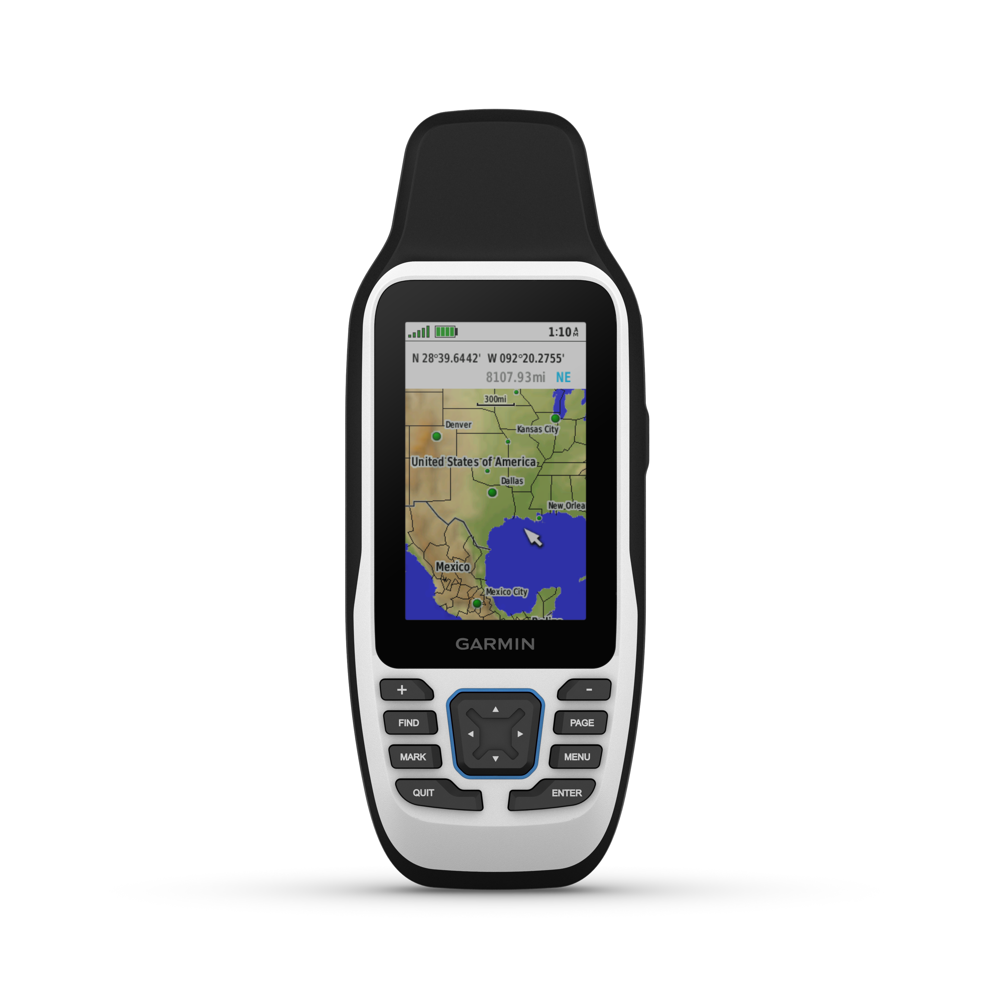
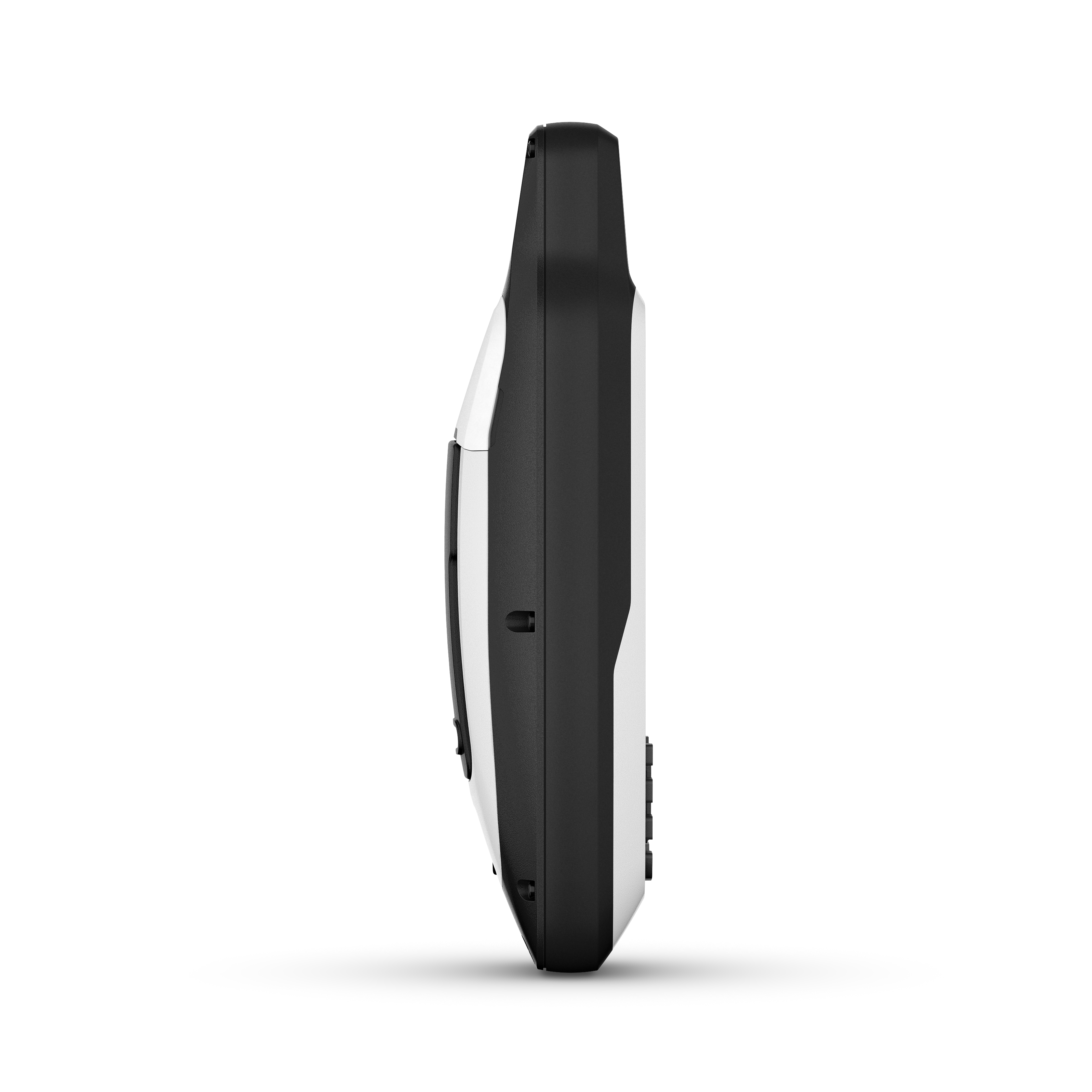
RUGGED HANDHELDThis handheld is water-resistant (IPX7) with a high-resolution color display you can read in the sun. The glass is even scratch-resistant and fogproof. |
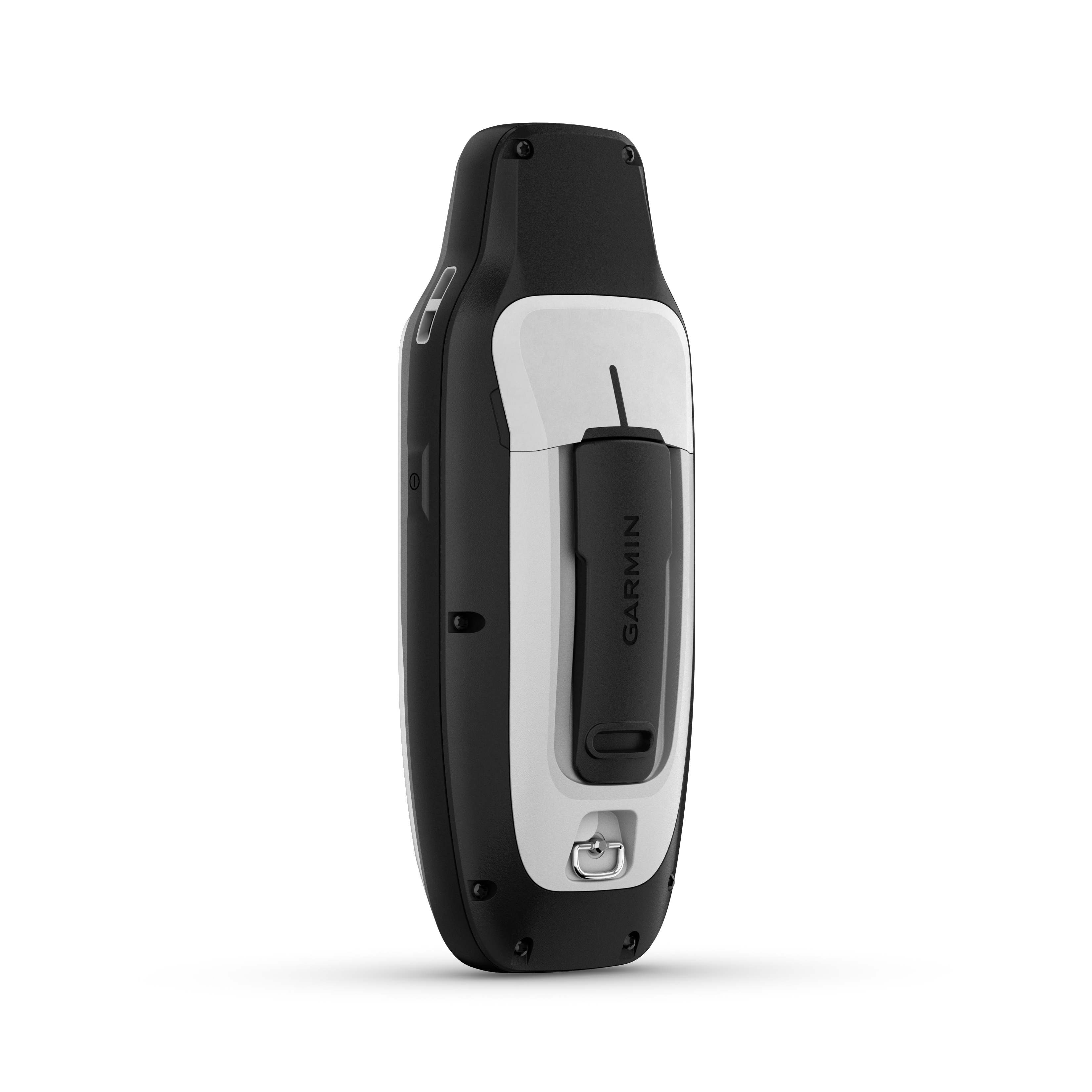
DESIGNED TO FLOATIf rough waters come and the handheld goes overboard, don’t worry. This device floats. |
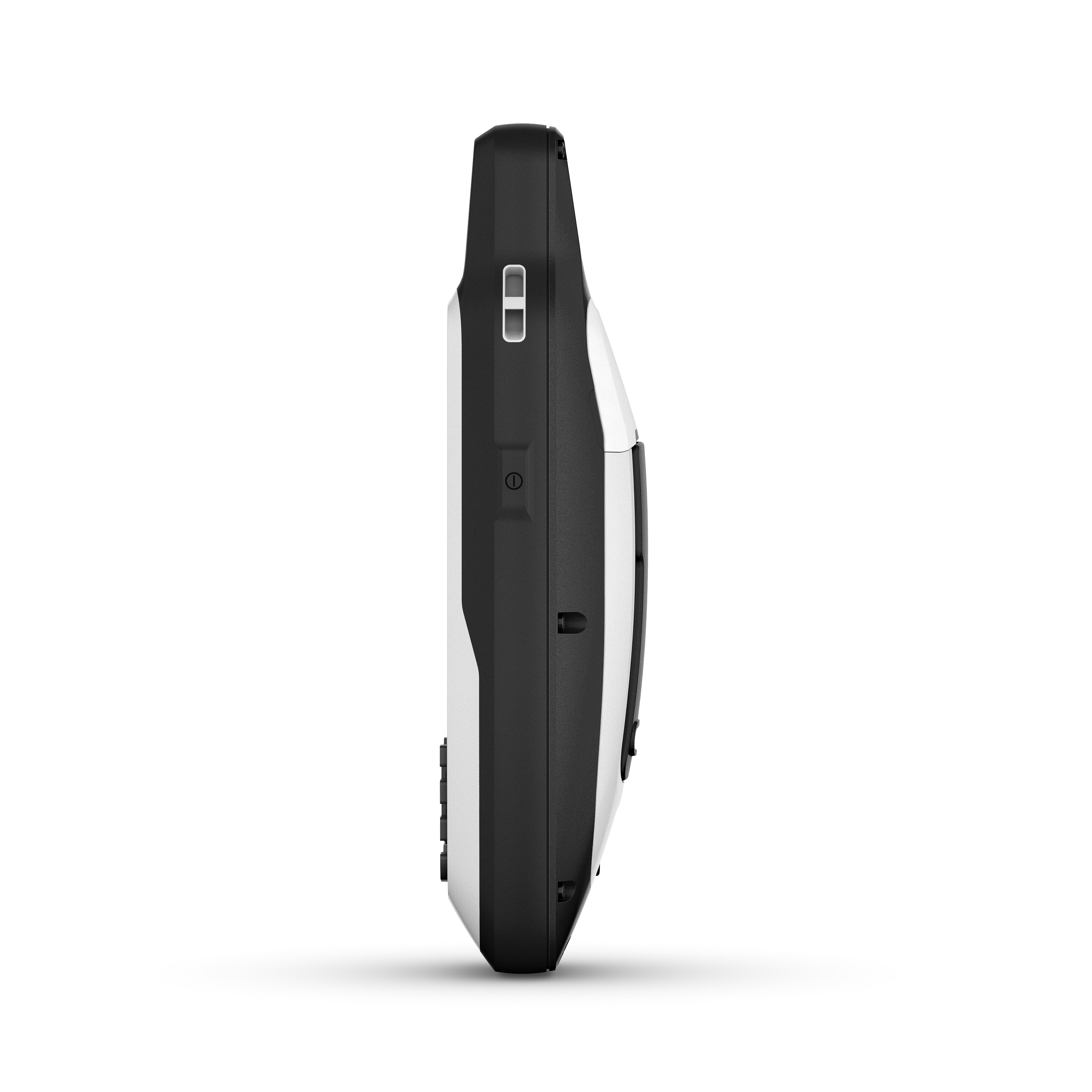
BATTERY LIFEUser-replaceable AA batteries (not included) provide up to 19 hours of battery life in GPS tracking mode. |

Exactly what you
need to navigate.
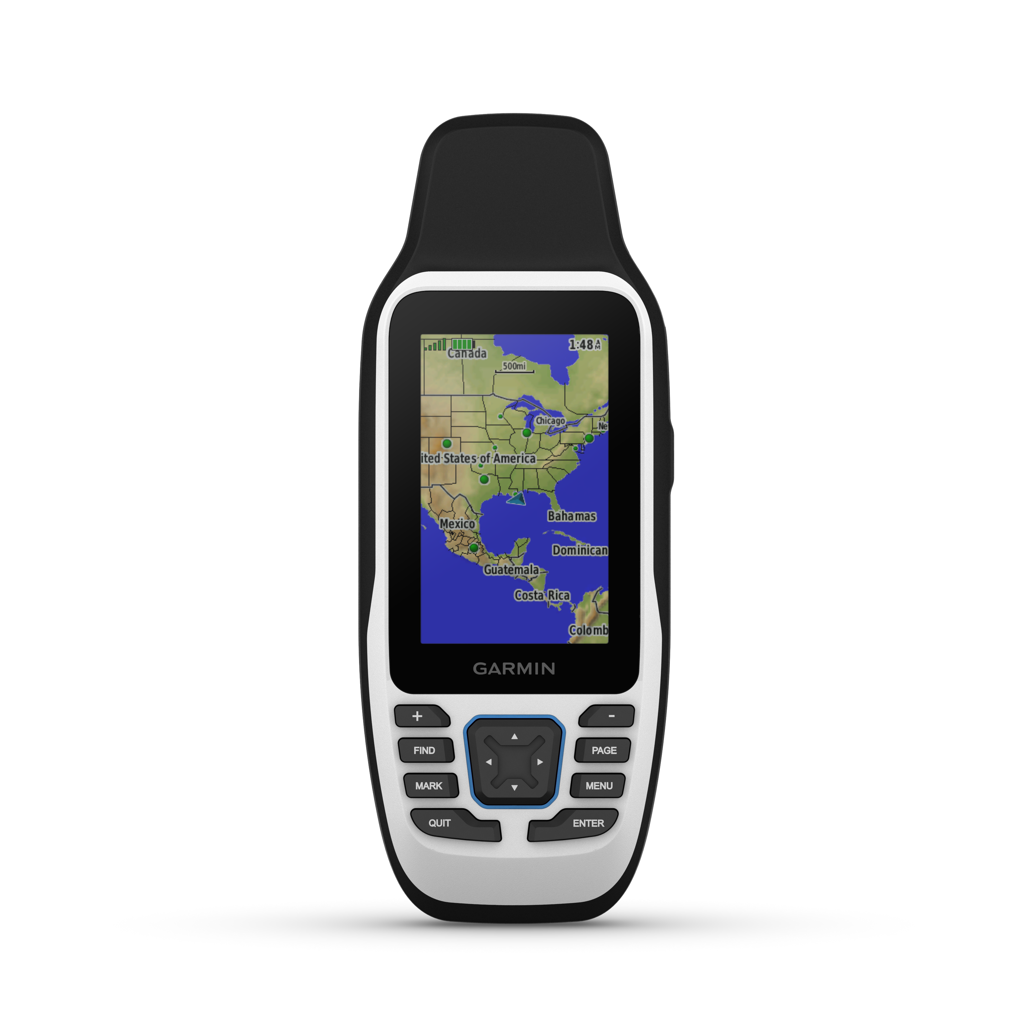
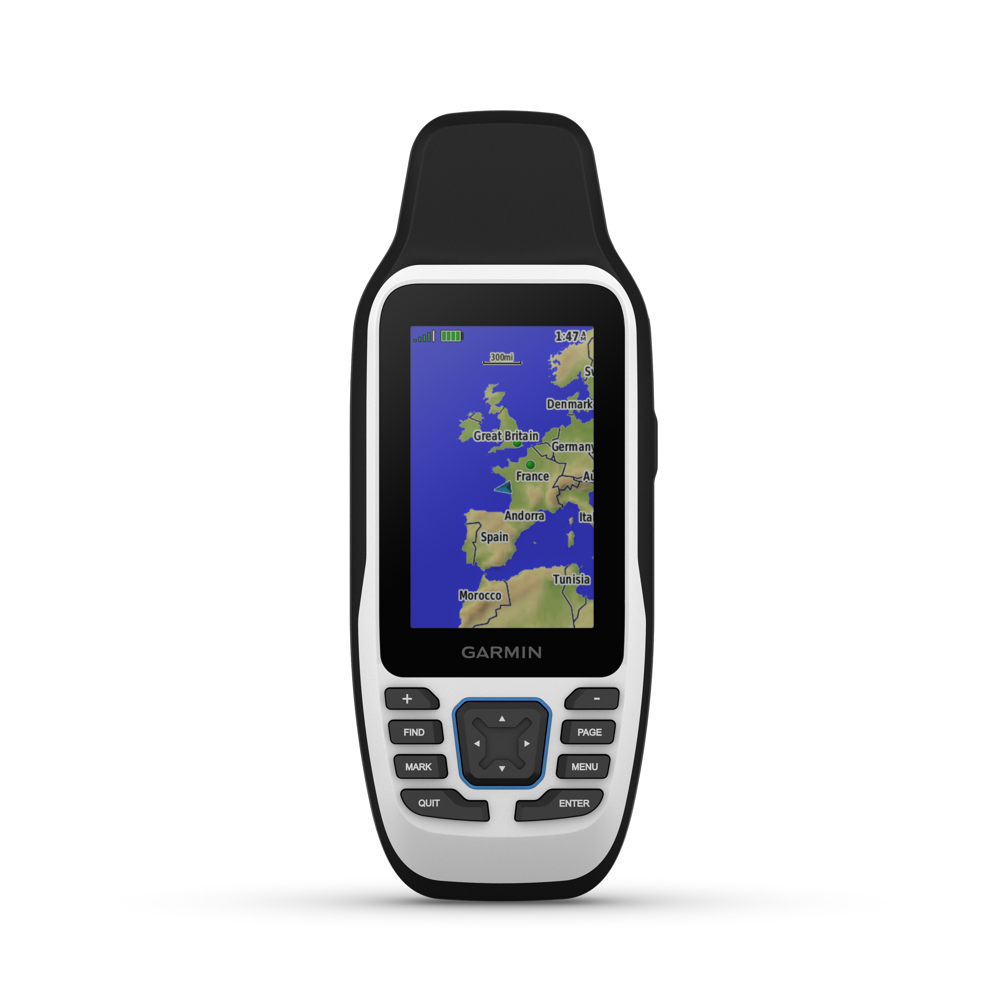
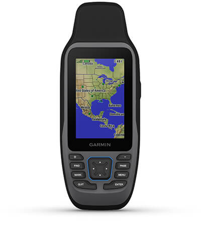
ACCURATE TRACKINGWith support for multiple satellite constellations — such as GPS, GLONASS, Galileo, QZSS and SBAS — you’ll get accurate, reliable tracking and positioning around the world. |
INCREASED MEMORYMore memory than previous models means you can save and track 10,000 waypoints, 250 routes and 300 fitness activity files. |
BUILT-IN COMPASSThe 3-axis tilt-compensated electronic compass shows your heading — even while the boat is standing still. |

General
| Lens Material | chemically strengthened glass |
| Dimension | 2.67'' x 6.85'' x 1.67'' (6.77 x 17.40 x 4.23 cm) |
| Weight | 9.95 oz (282g) with batteries |
| Water rating | IPX7 |
| MIL-STD-810 | yes (thermal, shock, water); bare unit only |
| Display Type | transflective, 65K color TFT |
| Display Size | 1.5"W x 2.5"H (3.8 x 6.3 cm); 3" diag (7.6 cm) |
| Display resolution | 240 x 400 pixels |
| Battery type | 2 AA batteries (not included); NiMH or Lithium recommended |
| Battery life | up to 19 hours |
| Memory/History | 8 GB (user space varies based on included mapping on sc version) |
| Interface | high speed microUSB and NMEA 0183 compatible |
Maps & memory
| Preloaded maps | Available on sc version only |
| Ability to add maps | |
| Basemap | |
| Automatic routing (turn by turn routing on roads) for outdoor activities | Yes (with optional mapping for detailed roads) |
| Map segments | 15000 |
| Includes detailed hydrographic features (coastlines, lake/river shorelines, wetlands and perennial and seasonal streams) | Yes (downloadable from Garmin Express™) |
| Includes searchable points of interests (parks, campgrounds, scenic lookouts and picnic sites) | Yes (downloadable from Garmin Express™) |
| Displays national, state and local parks, forests, and wilderness areas | Yes (downloadable from Garmin Express™) |
| External memory storage | yes (32 GB max microSD™ card, not included) |
| Waypoints/favorites/locations | 10,000 |
| Tracks | 250 |
| Navigation Track Log | 20,000 points, 250 saved gpx tracks, 300 saved fit activities |
| Navigation Routes | 250, 250 points per route; 50 points auto routing |
| Rinex logging |
Sensors
| GPS | |
| GLONASS | |
| QZSS | |
| SBAS | |
| COMPASS | Yes (tilt-compensated 3-axis) |
| HIGH - SENSITIVITY RECEIVER | |
| GPS COMPASS (WHILE MOVING) |
Daily smart features
| CONNECT IQ™ (DOWNLOADABLE WATCH FACES, DATA FIELDS, WIDGETS AND APPS) | |
| SMART NOTIFICATIONS ON HANDHELD | |
| VIRB® CAMERA REMOTE | |
| COMPATIBLE WITH GARMIN CONNECT™ MOBILE | |
| ACTIVE WEATHER |
Outdoor recreation
| Point-to-point navigation | |
| Area calculation | |
| Fish forecast | |
| Geocaching-friendly | Yes (Paperless) |
| Custom maps compatible | |
| Picture viewer |
- GPSMAP 79s or 79sc, depending on the version selected
- Lanyard
- USB cable
- Documentation