
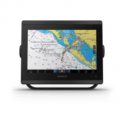

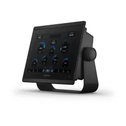


GPSMAP® 8410
Համաշխարհային բազայի քարտեզով
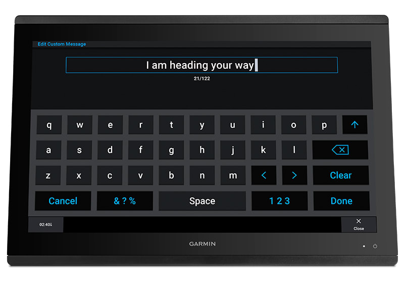
Սենսորային Էկրան
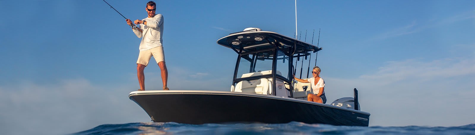
SERIOUS ANGLERS, CRUISERS, SAILORS AND SAIL RACERS DEMAND SERIOUS EQUIPMENT
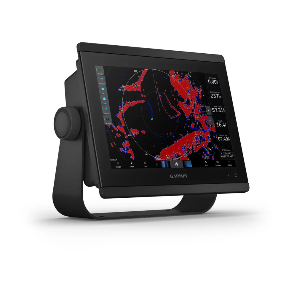
The easy-to-use, easy-to-install chartplotter/sonar combo delivers MFD performance in a combo-size package.
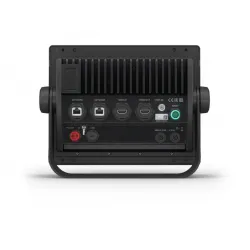
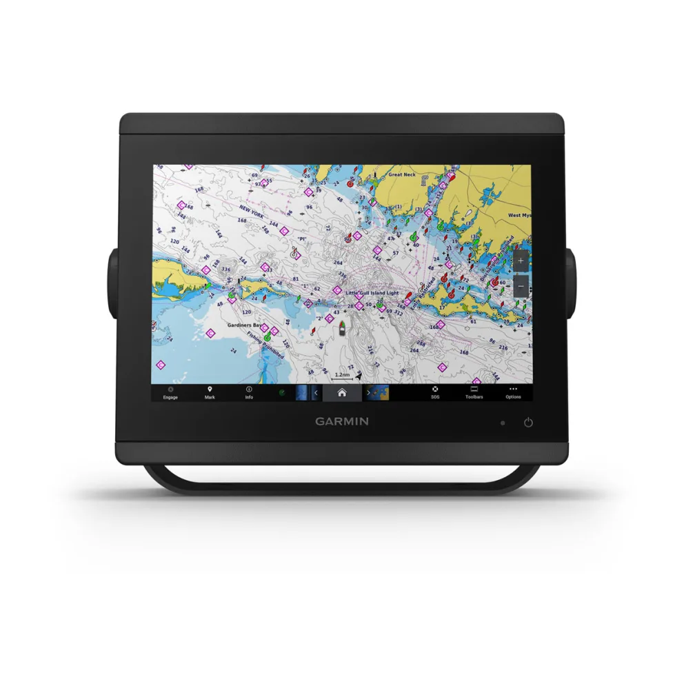
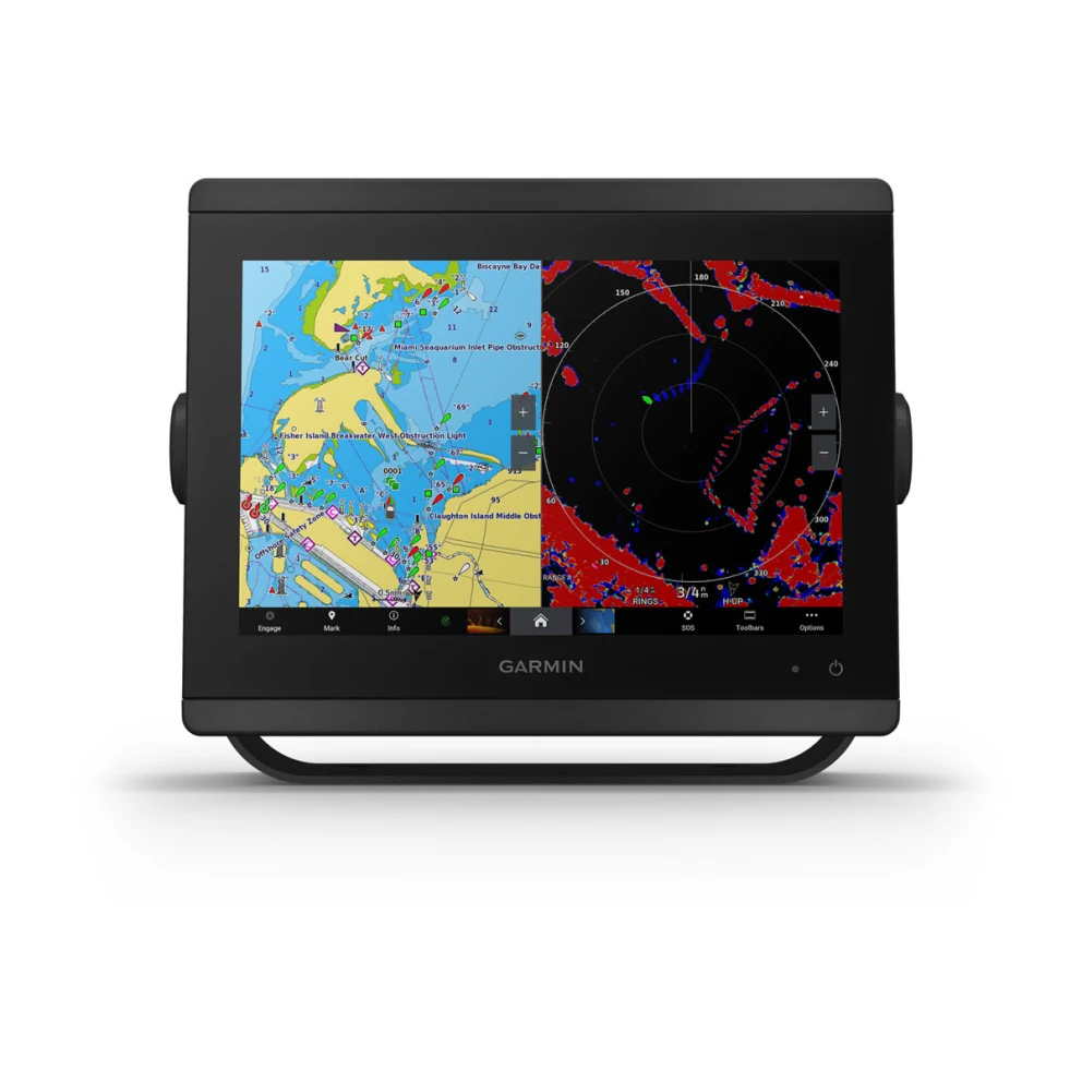
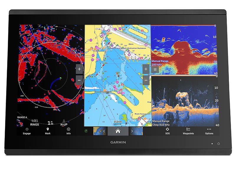
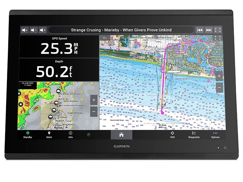
Get wider viewing angles and superior clarity on the touchscreen with a full HD in-plane switching (IPS) display. | Navigate confidently with built-in Garmin Navionics+™ inland and coastal mapping1. | Easily build your marine system using the best of network connectivity. |
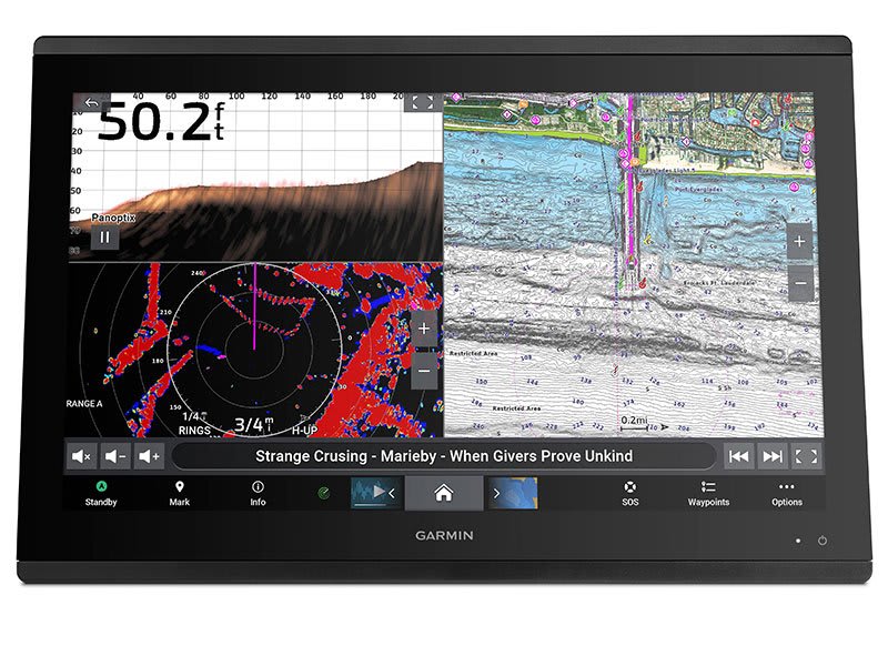
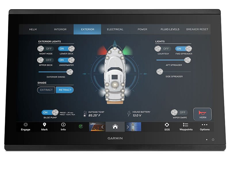
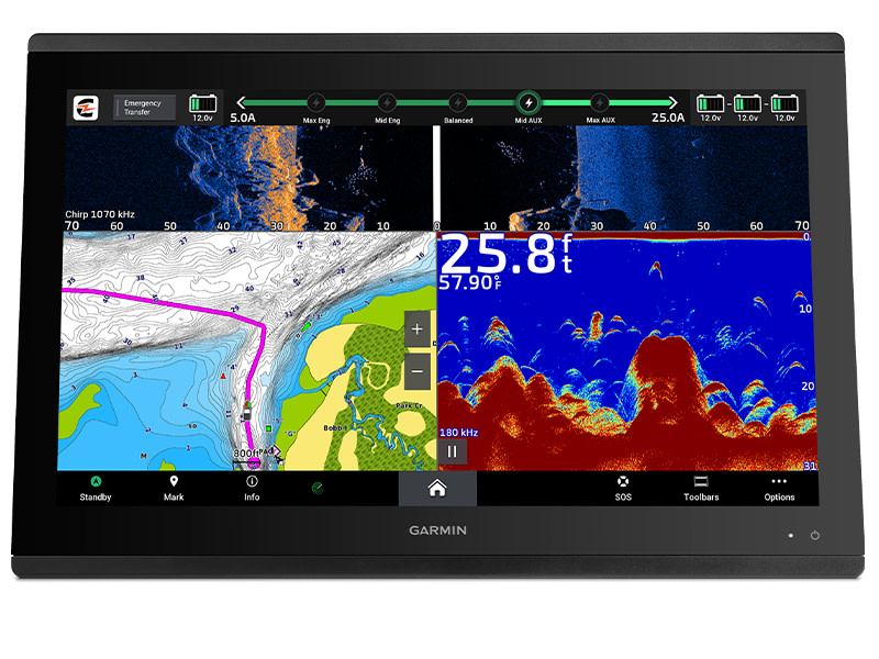
See below and around your boat with built-in sonar capabilities (transducers sold separately) | From ANT® technology to Wi-Fi® networking, there are countless ways to connect to your system. | With SmartMode™ station controls, everything is designed to give you quick, one-touch access to the information you need. |
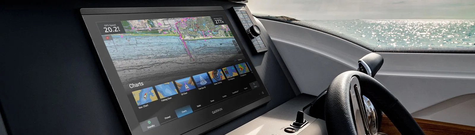
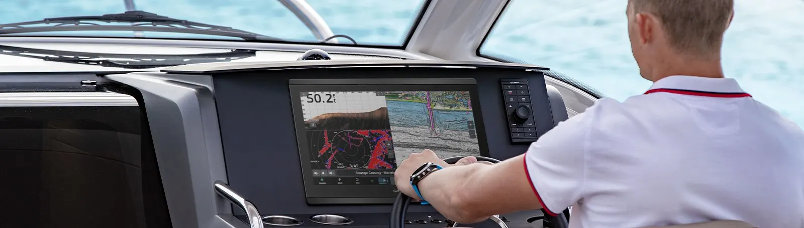
Made for your helm.
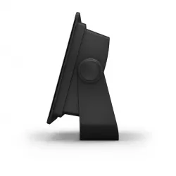
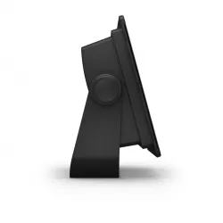
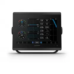
HD IPS TOUCHSCREENAvailable in 10″, 12″ or 16″, this display offers wider viewing angles, superior clarity and sunlight readability, even with polarized sunglasses. | SIMPLE, ATTRACTIVE MOUNTING OPTIONSYou can install multiple displays, either flat mounted edge-to-edge for a sleek glass helm look or mounted flush — creating a stunning helm. | GRID™ 20 REMOTE CONTROLThe optional, easy-to-use GRID 20 remote input device provides intuitive remote access and control of your entire Garmin marine system. |
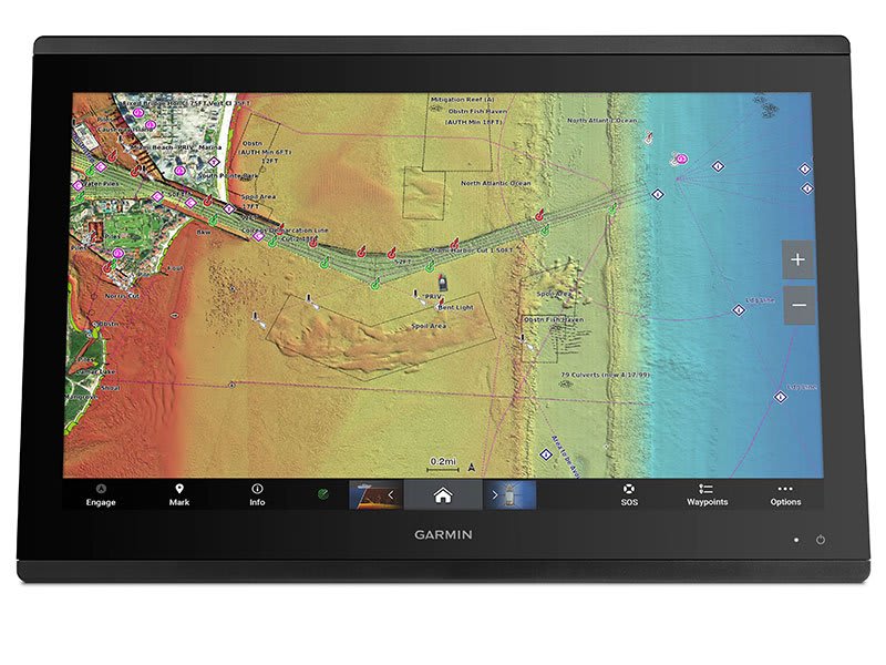
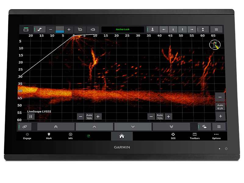
See the world below.
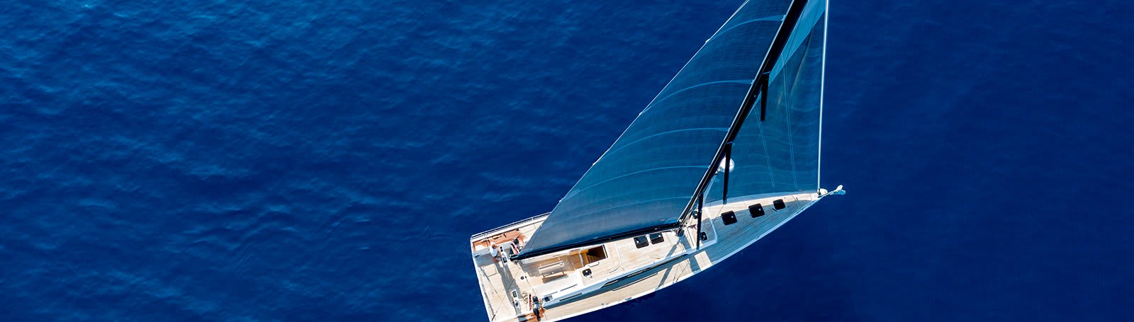
Sail and navigate
with ease.
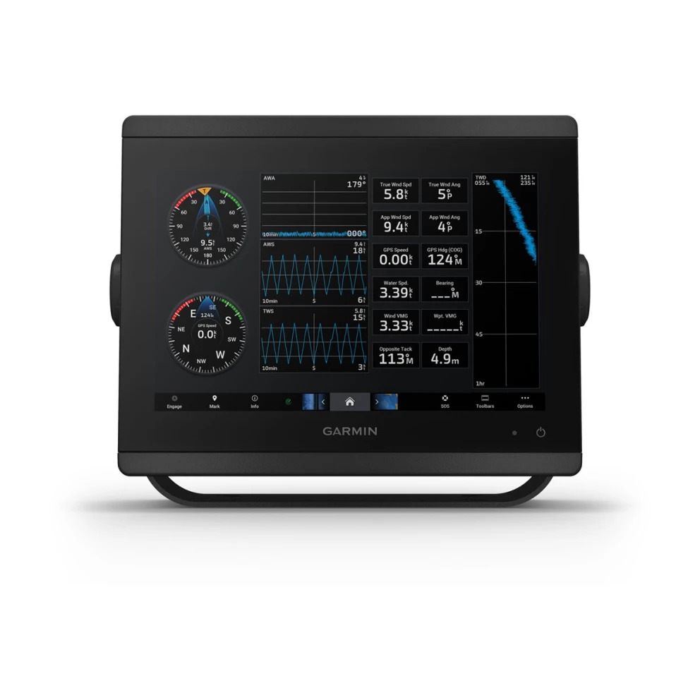
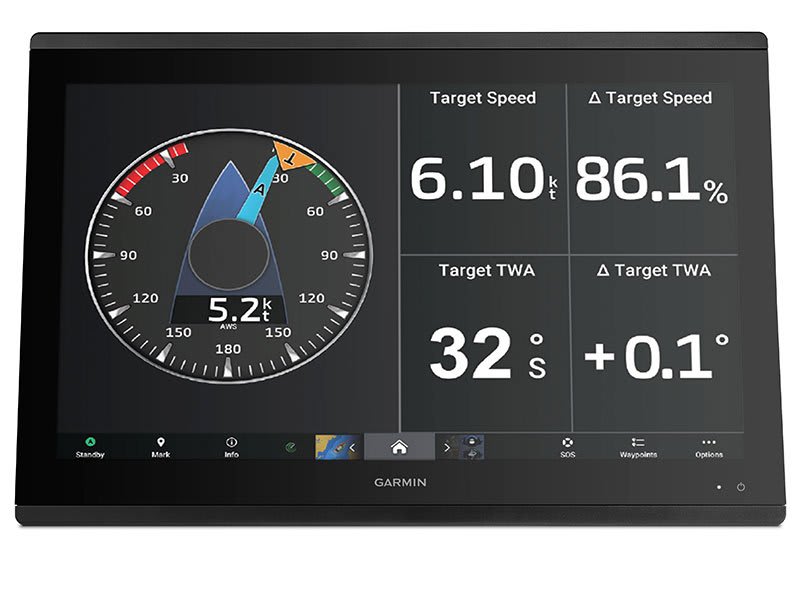
GARMIN SAILASSIST™ SAILING FEATURESView laylines, race start line guidance, enhanced wind rose, heading and course-over-ground lines, true wind data fields and tide/current/time slider, wind angle, set and drift, wind speed and more. |
CHARTS & MAPSBring a fresh new look and feel to your chartplotter with optional Garmin Navionics+™ or premium Garmin Navionics Vision+™ cartography featuring integrated coastal/inland content, access to daily updates, Auto Guidance+™ technology2 and more. |
SAILING POLARSUse the polar table to see key data, including how fast you should go at a certain wind angle and speed — so you know whether you need to adjust sail trim. |

Connect to
everything on your
boat.
GARMIN CYCLE MAPRide with preloaded maps that provide information about elevation data and points of interest and allow you to search for addresses. |
MTB DYNAMICSTrack the details of every ride with mountain biking metrics plus specialised grit and flow measurements that rate trail difficulty and how smoothly you descend, giving you a score to beat next time. |
FORKSIGHT MODEWhen using the Trailforks app, this mode automatically displays upcoming forks in the trail and gives you context by showing where you are within a trail network. |

TURN-BY-TURN NAVIGATIONNever get lost with turn-by-turn directions and alerts that notify you of upcoming turns. |
BACK TO STARTEdge 830 is smart enough to guide you back to the route — or back to start — if you deviate from it or decide to head home early. |
ROUTE CALCULATIONSpend more time riding and less time waiting around with route calculation speeds that are twice as fast as previous models. |
VARIA™ COMPATIBILITYPair the Edge 830 with our Varia rearview radar and lights so you can easily see and be seen. |
INCIDENT DETECTIONThis Edge automatically sends your location to preloaded emergency contacts if it detects an incident2. |
BIKE ALARMThe PIN-protected bike alarm will notify you on your smartphone3 if your bike is moved while you’re inside getting water or making a pit stop. |

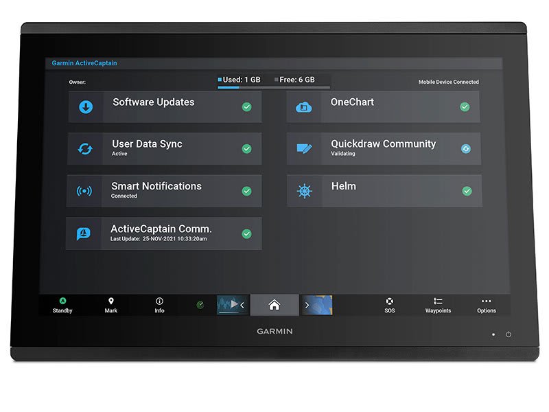
Manage your marine
experience using the free
ActiveCaptain® app
LEARN MORE
General
| Dimension | 25.9 cm x 20.5 cm x 7.5 cm |
| Weight | 2.4 kg |
| Water rating | IPX7 |
| Touchscreen | |
| Display Type | Touchscreen IPS display (anti-glare finish) |
| Display Size | 21.8 cm x 13.7 cm; 10.1" (25.7 cm) diagonal |
| Display Resolution | WUXGA; 1920 x 1200 px |
| Mounting Options | Bail, flat or flush. (Garmin does not offer any hardware or accessories for a flat-mount installation. Professional tools and knowledge is required.) |
Maps & memory
| Accepts Data Cards | 2 SD™ cards (on back of unit) |
| Waypoints | 5,000 |
| Track points | 50,000 |
| Tracks | 50 saved tracks |
| Navigation Routes | 100 (250 waypoints each) |
Sensors
| GPS | |
| GLONASS | |
| GALILEO | |
| Has built-in receiver | |
| Receiver | 10 Hz GPS/GLONASS/Galileo |
| NMEA 2000® compatible | |
| NMEA 0183 Compatible | |
| Supports WAAS |
Daily Smart Features
| CONNECTIVITY | Bluetooth®, ANT+®, Wi-Fi® |
| CONNECT IQ™ (DOWNLOADABLE WATCH FACES, DATA FIELDS, WIDGETS AND APPS) | |
| SMART NOTIFICATIONS | |
| TEXT RESPONSE/REJECT PHONE CALL WITH TEXT (ANDROID™ ONLY) | |
| WEATHER | |
| VIRB® CAMERA REMOTE | |
| SMARTPHONE COMPATIBILITY | iPhone®, Android™ |
Built-in maps
| Tide tables |
Optional map support
| BlueChart g3 | |
| BlueChart g3 Vision | |
| LakeVü g3 | |
| LakeVü g3 Ultra | |
| Garmin Navionics+™ | |
| Garmin Navionics Vision+™ | |
| TOPO 100K | |
| Standard Mapping | |
| Garmin Quickdraw Contours | |
| Raster chart support |
Chartplotter features
| Garmin SmartMode compatible (customisable monitor presets) | |
| AIS | |
| DSC | |
| Supports Fusion-Link™ compatible radios | |
| GSD Black Box Sonar Support | |
| GCV Black Box Sonar Support | |
| ActiveCaptain Mobile Planning Compatible | |
| GRID (Garmin Remote Input Device) compatible | |
| Wireless Remote Compatible | |
| Sailing features | |
| Spoken audio alerts | |
| OneHelm support |
Electrical features
| Power Input | 10-32 Vdc |
| Typical current draw at 12 Vdc | 1.5 A |
| Maximum current draw at 12 Vdc | 6.0 A |
| Maximum power usage at 10 Vdc | 40.1W |
Sonar features & specifications
| Displays sonar | |
| Traditional sonar (dual frequency/beam) | Yes (with GCV™ black box, sold separately) |
| ClearVü | Yes (with GCV™ black box, sold separately) |
| SideVü | Yes (with GCV™ black box, sold separately) |
| Panoptix™ sonar | |
| LiveScope |
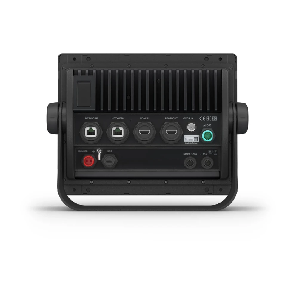
Connections
| NMEA 2000® ports | 1 |
| NMEA 0183 Input (Rx) Ports | 1 |
| NMEA 0183 output (Tx) ports | 1 |
| Video input ports | 1 (BNC composite); 1 HDMI (HDCP compliant) |
| Video output ports | 1 HDMI |
| J1939 ports | 1 |
| Garmin Marine Network Ports | 2 |
| USB ports | |
| BLUETOOTH® pairing | |
| ANT+ (Connectivity) | |
| Garmin Wi-Fi network (local connection) |
- GPSMAP 8410
- Power cable
- NMEA 2000® drop cable
- NMEA 2000 T-connector
- Bail mount with knobs
- Flush mount kit
- Sun cover
- Trim piece snap covers
- Documentation